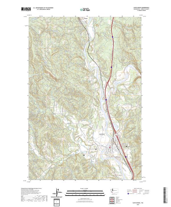
2023 Map of Castle Rock
USGS Topo · Published 2023About this map
The Cowlitz River carves a central path through this modern survey of south-central Washington, meeting its tributary, the Toutle River, just north of Castle Rock. This area serves as a primary transportation corridor, where the BNSF Railway and Interstate 5 parallel the river's winding course. The map documents a landscape defined by significant elevation changes, from the alluvial flats of Arkansas Valley and Delameter Valley to the heights of Bebe Mtn and Wilkes Hills. Genealogists and local historians will find value in the placement of several burial grounds, including the Independent Order of Odd Fellows Cem, the Whittle and Hubbard Cem, and the Jackson Cem. Small rural settlements like Olequa anchor the northern reaches of the sheet, providing a contemporary view of the region's longstanding river-and-rail geography.
Find a feature on this map
95 named features on this map. Tap any name to fly to it.
Don’t see what you’re looking for? This feature index may not catch every label — zoom into the map to look around manually.
Map Details
Editions of this 2023 Castle Rock Map
This is the sole edition of this map. No revisions or reprints were ever made.
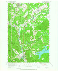
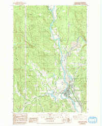
Historical Maps of Olequa Through Time
3 maps found