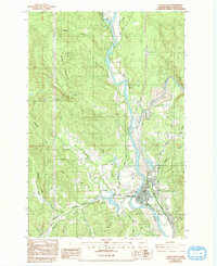
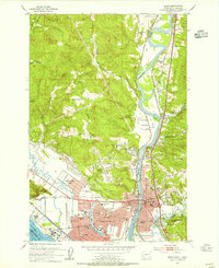
1984 Map of Castle Rock
USGS Topo · Published 1993About this map
Castle Rock is situated at the confluence of the Cowlitz River and the Toutle River, serving as a focal point for commerce and transport in this 1980s-era survey. The map details a landscape shaped by both natural waterways and heavy industrial infrastructure, including the Burlington Northern railroad and extensive transmission lines. The local topography is defined by significant elevations like Bebe Mountain and Ogden Hill, which overlook a network of drainages such as Arkansas Creek and Delameter Creek.
Find a feature on this map
23 named features on this map. Tap any name to fly to it.
Don’t see what you’re looking for? This feature index may not catch every label — zoom into the map to look around manually.
Map Details
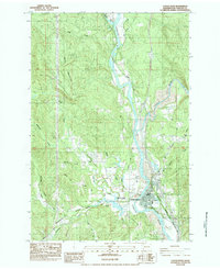
Editions of this 1984 Castle Rock Map
2 editions found
Other maps of this area

1919 · Mayger
USGS Topo · 1:62,500

1921 · Kalama
USGS Topo · 1:62,500

1941 · Olequa
USGS Topo · 1:62,500

1941 · Clatskanie
USGS Topo · 1:62,500
1952 · Clatskanie
USGS Topo · 1:62,500

1953 · Hoquiam
USGS Topo · 1:250,000
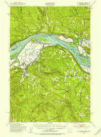
1953 · Castle Rock
USGS Topo · 1:62,500
1953 · Mt. Brynion
USGS Topo · 1:24,000
1953 · Ryderwood
USGS Topo · 1:62,500
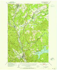
1953 · Kelso
USGS Topo · 1:24,000