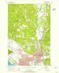
1953 Map of Kelso
USGS Topo · Published 1955About this map
The industrial and riverine hub of the Cowlitz River and Columbia River confluence is captured here just as the post-war era transformed the region. The planned grid of Longview contrasts with the established city of Kelso, showing a landscape defined by heavy industry and education. Industrial landmarks like the Aluminum Plant, Paper Mill, and multiple sawmills line the waterways, while the community is anchored by institutions such as R A Long HS, St Roses Sch, and Lower Columbia Jr College.
Find a feature on this map
59 named features on this map. Tap any name to fly to it.
Don’t see what you’re looking for? This feature index may not catch every label — zoom into the map to look around manually.
Map Details
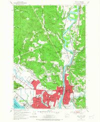
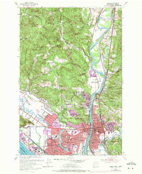
Editions of this 1953 Kelso Map
3 editions found
Other maps of this area

1919 · Mayger
USGS Topo · 1:62,500

1921 · Kalama
USGS Topo · 1:62,500

1941 · Olequa
USGS Topo · 1:62,500

1941 · Clatskanie
USGS Topo · 1:62,500

1952 · Clatskanie
USGS Topo · 1:62,500

1953 · Hoquiam
USGS Topo · 1:250,000

1953 · Castle Rock
USGS Topo · 1:62,500

1953 · Mt. Brynion
USGS Topo · 1:24,000

1953 · Ryderwood
USGS Topo · 1:62,500

1953 · Rainier
USGS Topo · 1:24,000