
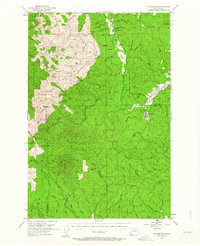
1953 Map of Ryderwood
USGS Topo · Published 1955About this map
The timber-rich landscape of the northern Willapa Hills is captured here during the mid-1950s, a period when the logging company town of Ryderwood was transitioning from its industrial origins toward a residential community. The map reveals the shifting infrastructure of the era, marked by a Dismantled Railroad and an Old Railroad Grade that once served the heavy extraction of Douglas fir. In their place, a network of specialized routes like the Stillwater Truck Road and various Truck Roads began to define the transport of logs toward the South Fork Chehalis River.
Find a feature on this map
58 named features on this map. Tap any name to fly to it.
Don’t see what you’re looking for? This feature index may not catch every label — zoom into the map to look around manually.
Map Details
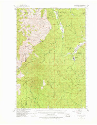
Editions of this 1953 Ryderwood Map
3 editions found
Other maps of this area

1916 · Chehalis
USGS Topo · 1:125,000

1919 · Mayger
USGS Topo · 1:62,500

1921 · Kalama
USGS Topo · 1:62,500

1941 · Walville
USGS Topo · 1:62,500

1941 · Meskill
USGS Topo · 1:62,500

1941 · Olequa
USGS Topo · 1:62,500

1941 · Skamokawa
USGS Topo · 1:62,500

1941 · Clatskanie
USGS Topo · 1:62,500

1941 · Cathlamet
USGS Topo · 1:62,500

1952 · Clatskanie
USGS Topo · 1:62,500