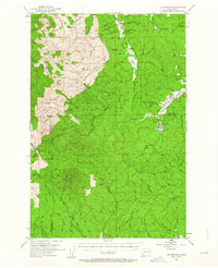
1953 Map of Ryderwood
USGS Topo · Published 1963About this map
Ryderwood anchors the eastern edge of this landscape, situated near the meeting of the Lewis and Cowlitz County lines. The area is defined by a dense network of timber access routes, including the Castle Rock Truck Road and the Wisconsin Truck Road, reflecting the region's industrial history. A Dismantled Railroad traces a path through the valley near Wildwood, indicating a shift in transportation methods as rail gave way to trucking by the early 1950s.
Find a feature on this map
74 named features on this map. Tap any name to fly to it.
Don’t see what you’re looking for? This feature index may not catch every label — zoom into the map to look around manually.
Map Details
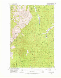
Editions of this 1953 Ryderwood Map
3 editions found

Other maps of this area

1916 · Chehalis
USGS Topo · 1:125,000

1919 · Mayger
USGS Topo · 1:62,500

1921 · Kalama
USGS Topo · 1:62,500

1941 · Walville
USGS Topo · 1:62,500

1941 · Meskill
USGS Topo · 1:62,500

1941 · Olequa
USGS Topo · 1:62,500

1941 · Skamokawa
USGS Topo · 1:62,500

1941 · Clatskanie
USGS Topo · 1:62,500

1941 · Cathlamet
USGS Topo · 1:62,500

1952 · Clatskanie
USGS Topo · 1:62,500