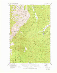
1953 Map of Ryderwood
USGS Topo · Published 1976About this map
Ryderwood stands at the center of this 1950s logging and rural landscape, marking a significant junction of industrial and natural history in Southwest Washington. The map traces the transition of local infrastructure, notably featuring a Dismantled Railroad that once serviced the timber industry near Cougar Creek. In the rugged uplands, fire protection and surveying points are evident at Boistfort Peak and the Incline Lookout.
Find a feature on this map
71 named features on this map. Tap any name to fly to it.
Don’t see what you’re looking for? This feature index may not catch every label — zoom into the map to look around manually.
Map Details
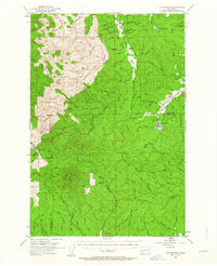
Editions of this 1953 Ryderwood Map
3 editions found

Other maps of this area

1916 · Chehalis
USGS Topo · 1:125,000

1919 · Mayger
USGS Topo · 1:62,500

1921 · Kalama
USGS Topo · 1:62,500

1941 · Walville
USGS Topo · 1:62,500

1941 · Meskill
USGS Topo · 1:62,500

1941 · Olequa
USGS Topo · 1:62,500

1941 · Skamokawa
USGS Topo · 1:62,500

1941 · Clatskanie
USGS Topo · 1:62,500

1941 · Cathlamet
USGS Topo · 1:62,500

1952 · Clatskanie
USGS Topo · 1:62,500