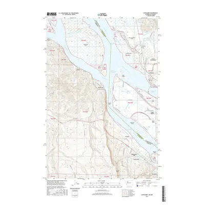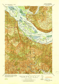
1941 Map of Cathlamet
USGS Topo · Published 1941About this map
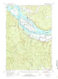
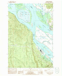
The Columbia River dominates this landscape, serving as a complex artery between Washington and Oregon. Industrial activity is centered around the Crown Zellerbach Mill and the riverfront settlements of Bradwood, Wauna, and Westport. The map details the intricate slough and island system of the river, notably Puget Island with its network of farms and the Puget Island Grange. On the Oregon side, the Spokane Portland & Seattle Ry follows the southern bank, connecting smaller river towns like Clifton and Marshland, where the Marshland School once served the local community. Further south, the terrain rises into the Coast Range, marked by summits like Nicolai Mt and Clatskanie Mt. This survey illustrates the era's reliance on river-and-rail transport, showing how topography and water management, including the 17 Lower Cathlamet Dike, shaped the regional economy.
Find a feature on this map
86 named features on this map. Tap any name to fly to it.
Don’t see what you’re looking for? This feature index may not catch every label — zoom into the map to look around manually.
Map Details
Editions of this 1941 Cathlamet Map
This is the sole edition of this map. No revisions or reprints were ever made.
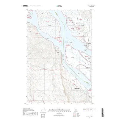
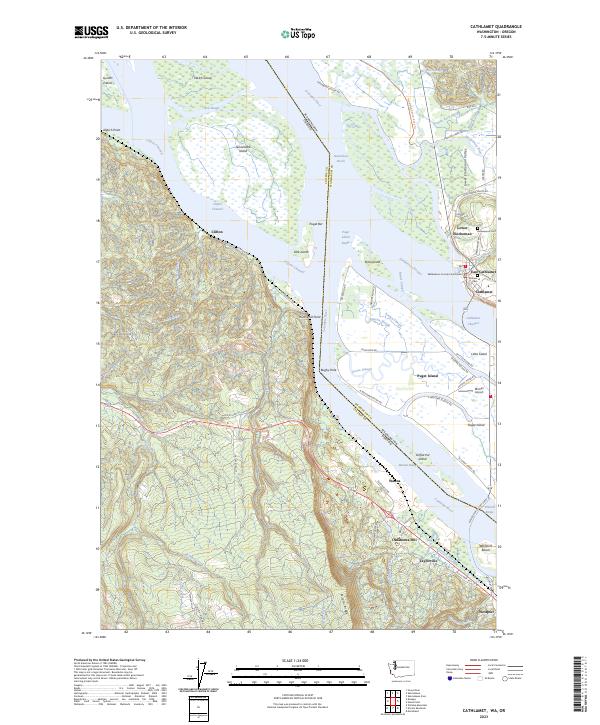
Historical Maps of Cathlamet Through Time
8 maps found