
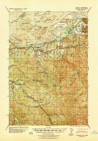
1941 Map of Skamokawa
USGS Topo · Published 1941About this map
Skamokawa sits at the confluence of several vital watercourses, serving as a hub for timber and river operations along the Columbia River just before the Second World War. This Army Tactical Map reveals a landscape defined by the logging industry, with the Crown Willamette Paper Co maintaining a significant presence through its Headquarters Camp and Truck Trails that penetrate the dense inland terrain.
Find a feature on this map
70 named features on this map. Tap any name to fly to it.
Don’t see what you’re looking for? This feature index may not catch every label — zoom into the map to look around manually.
Map Details
Editions of this 1941 Skamokawa Map
This is the sole edition of this map. No revisions or reprints were ever made.
Other maps of this area

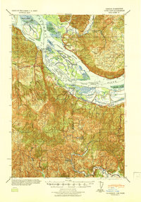
1919 · Mayger
USGS Topo · 1:62,500
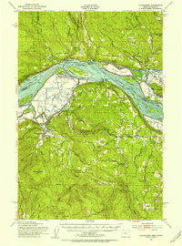
1940 · Svensen
USGS Topo · 1:62,500

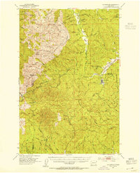
1940 · Brookfield
USGS Topo · 1:62,500

1941 · Walville
USGS Topo · 1:62,500

1941 · Meskill
USGS Topo · 1:62,500

1941 · Clatskanie
USGS Topo · 1:62,500
1941 · Cathlamet
USGS Topo · 1:62,500
1952 · Clatskanie
USGS Topo · 1:62,500

1953 · Hoquiam
USGS Topo · 1:250,000
1953 · Ryderwood
USGS Topo · 1:62,500