Old Maps of Skamokawa, Washington
Explore 13 old maps of Skamokawa, spanning from 1941 to today. These high-resolution historic maps reveal how streets, neighborhoods, landmarks, and natural features evolved over time — perfect for genealogy, metal detecting, research, and local history exploration.
What you can do with these maps:
- See how Skamokawa changed over time: Compare historical maps to modern-day views to trace roads, homesites, rail lines & more.
- View detailed metadata: Each map includes creators, publishers, year, scale, and archive source.
- Overlay maps with satellite & LiDAR: Visualize the past alongside modern tools to explore terrain & human change.
- Trusted historical sources: Maps sourced from the USGS, Library of Congress, and other archives.
- Access maps your way: View online, download high-res files, or order prints for personal or research use.
Start exploring old maps of Skamokawa to uncover forgotten places, hidden landmarks, and the deep history beneath your feet.
Skamokawa, WA maps
(13)- 1941 Map of Skamokawa
 1941 Skamokawa1941 Print · USGSWahkiakum County's timber and river culture is captured here during the early 1940s, showing the intersection of logging camps and Columbia River fisheries. Researchers can locate family landmarks like the Oatfield Ranch, trace the Crown Willamette Headquarters Camp, or find the Fern Hill Cemetery.
 - 1953 Map of Hoquiam
 1953 Hoquiam1953 Print · USGSSouthwest Washington in the early fifties shows a landscape shaped by timber, rail, and river commerce from the coast to the Cascades. Genealogists and historians can trace the development of timber towns like Ryderwood and the industrial hubs of Hoquiam and Kelso.2 unique versions available
 - 1953 Map of Skamokawa, 1955 Print
 1953 Skamokawa1955 Print · USGSThe riverfront culture of Wahkiakum County is on full display here in the early 1950s, showing the intersection of the Columbia River and the logging woods. Researchers can locate the Fern Hill Cem, the Blaney Lookout, and vanished infrastructure like the Dismantled RR.3 unique versions available
 - 1957 Map of Hoquiam
 1957 Hoquiam1957 Print · USGSCoastal timber ports and inland rail hubs define Southwest Washington during the late fifties. Genealogists can trace early twentieth-century settlements like Bordeaux, Tono, and Cosmopolis alongside the expanding tracks of the Northern Pacific.
 - 1958 Map of Hoquiam, 1969 Print
 1958 Hoquiam1969 Print · USGSSouthwest Washington and the Columbia River estuary appear here in the mid-century, before major landscape shifts. Researchers can trace the rail lines of the Northern Pacific, locate the Fort Henness Site, or explore the Naselle Air Force Station.2 unique versions available
 - 1962 Map of Hoquiam
 1962 Hoquiam1962 Print · USGSSouthwest Washington in the late fifties is defined by the bustling timber ports of Hoquiam and the rail-linked commerce of the interior valleys. Genealogists and historians can trace the early footprints of settlements like Raymond and Pe Ell, or locate family sites at Grand Mound Cem and Odd Fellows Cem.
 - 1981 Map of Astoria, 1982 Print
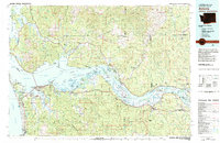 1981 Astoria1982 Print · USGSThe Oregon and Washington borderlands meet at the Columbia River estuary in the early eighties, a time of active timber transport and maritime trade. Researchers can trace the river's many islands, the grounds of Fort Stevens, and riverside towns like Cathlamet and Westport.3 unique versions available
 - 1985 Map of Shamokawa
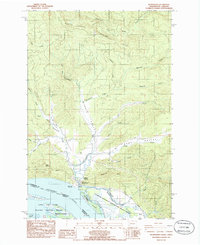 1985 Shamokawa1985 Print · USGSSkamokawa and the surrounding river valleys are captured here in the mid-1980s as the Columbia River shoreline transitioned toward conservation and recreation. Researchers can trace the legacy of the area through Fern Hill Hill Cem, the riverfront at Skamokawa Vista Park, and the quiet corners of Sleepy Hollow.
 - 2011 Map of Skamokawa, 2011 Print
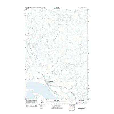 2011 Skamokawa2011 Print · USGSThe riverfront and valley communities of Wahkiakum County are captured here in the early twenty-first century. Researchers can trace local heritage at Fern Hill Cemetery or explore the river-side geography of Price Island and Steamboat Slough.
 - 2014 Map of Skamokawa, 2014 Print
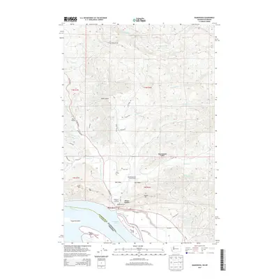 2014 Skamokawa2014 Print · USGSThe Lower Columbia River shoreline in Wahkiakum County is captured here in the early twenty-first century. Researchers can trace the layout of Skamokawa and the surrounding drainages, locating the Fern Hill Cem and Wahkiakum County Fairgrounds.
 - 2017 Map of Skamokawa, 2017 Print
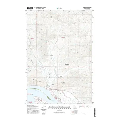 2017 Skamokawa2017 Print · USGSThe Columbia River shoreline and its interior valleys are captured here in the late twenty-teens, showing the distinct layout of Skamokawa and Sleepy Hollow. Researchers can trace old routes along Alger Truck Trail or find family landmarks like Fern Hill Cemetery and Hogans Hill.
 - 2020 Map of Skamokawa, 2020 Print
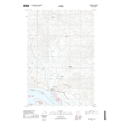 2020 Skamokawa2020 Print · USGSSkamokawa and the surrounding river valleys are shown in this recent topographic survey of the Washington and Oregon border. Genealogists can trace family-named roads and rural settlements like Sleepy Hollow, East Valley, and the historic Fern Hill Cemetery.
 - 2023 Map of Skamokawa, 2023 Print
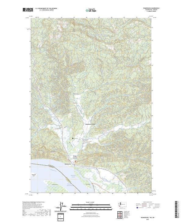 2023 Skamokawa2023 Print · USGSThe riverfront and valley systems of Wahkiakum County are shown here in detail during the early 2020s. Genealogists and local historians can trace family-named sites like Fern Hill Cem and explore the sloughs around Price Island and Skamokawa.
End of results
Showing maps 1-13 of 13
Top cities near Skamokawa
Frequently asked questions
- What are the different types of historical maps available for Skamokawa?
- What is the oldest map of Skamokawa?
- Where can I purchase historical maps of Skamokawa for my home or office?
- Where can I download high-res historical maps of Skamokawa?
- Are there historical topographic maps available for Skamokawa?
- Is there historical aerial imagery available for Skamokawa?
- Where are historical maps of Skamokawa sourced from?