
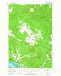
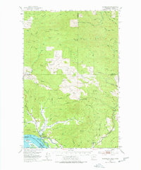
1953 Map of Skamokawa
USGS Topo · Published 1955About this map
Skamokawa sits at the confluence of several vital waterways in the early 1950s, serving as a hub for the riverfront life of Wahkiakum County. The settlement patterns follow the drainages of Wilson Creek and Alger Creek, while the Columbia River shoreline features Fishhouses and the expansive Welch Island. To the north, the landscape transitions into a timber-driven economy, evidenced by a Dismantled RR and various Logging Roads that wind through the hills toward Skamokawa Pass. The mapping captures a moment when traditional river commerce and industrial forestry intersected, with small communities like Moe Hill and Mitchell dotting the drainages. Notable local landmarks include the Fern Hill Cem and Sleepy Hollow, alongside high-elevation markers like the Blaney Lookout. The terrain is characterized by numerous forks of the Grays River and the West Fork Elochoman River, highlighting the area's intricate hydrologic network.
Find a feature on this map
79 named features on this map. Tap any name to fly to it.
Don’t see what you’re looking for? This feature index may not catch every label — zoom into the map to look around manually.
Map Details
Editions of this 1953 Skamokawa Map
Other maps of this area

1919 · Mayger
USGS Topo · 1:62,500

1940 · Svensen
USGS Topo · 1:62,500

1940 · Brookfield
USGS Topo · 1:62,500

1941 · Walville
USGS Topo · 1:62,500

1941 · Meskill
USGS Topo · 1:62,500

1941 · Skamokawa
USGS Topo · 1:62,500

1941 · Clatskanie
USGS Topo · 1:62,500

1941 · Cathlamet
USGS Topo · 1:62,500

1952 · Clatskanie
USGS Topo · 1:62,500

1953 · Hoquiam
USGS Topo · 1:250,000