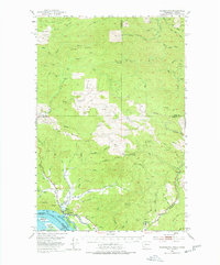
1953 Map of Skamokawa
USGS Topo · Published 1978About this map
Skamokawa sits at the northern edge of the Columbia River in a landscape defined by timber extraction and coastal drainage. This 1950s survey captures a transition in the region's transport network, documented by an extensive system of Logging RR routes, an Abandoned RR, and a Dismantled RR that once pierced the deep drainages of Grays River and Wilson Creek. The proximity to the Oregon border is marked by Fitzpatrick Island and Welch Island in the main channel.
Find a feature on this map
79 named features on this map. Tap any name to fly to it.
Don’t see what you’re looking for? This feature index may not catch every label — zoom into the map to look around manually.
Map Details
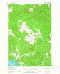
Editions of this 1953 Skamokawa Map

Other maps of this area

1919 · Mayger
USGS Topo · 1:62,500

1940 · Svensen
USGS Topo · 1:62,500

1940 · Brookfield
USGS Topo · 1:62,500

1941 · Walville
USGS Topo · 1:62,500

1941 · Meskill
USGS Topo · 1:62,500

1941 · Skamokawa
USGS Topo · 1:62,500

1941 · Clatskanie
USGS Topo · 1:62,500

1941 · Cathlamet
USGS Topo · 1:62,500

1952 · Clatskanie
USGS Topo · 1:62,500

1953 · Hoquiam
USGS Topo · 1:250,000