1941 Map of Clatskanie
USGS Topo · Published 1941About this map
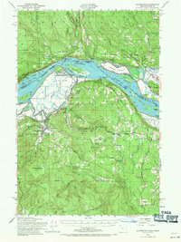
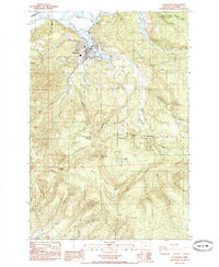
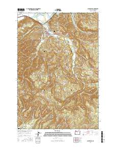
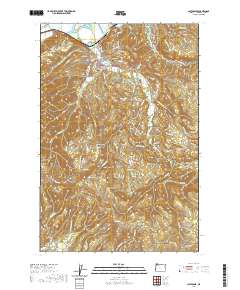
The Columbia River serves as the dominant artery in this 1941 tactical survey, separating the shores of Washington and Oregon. Along the southern banks, the city of Clatskanie is a hub for the surrounding timber and agricultural uplands. A dense network of rural infrastructure is visible, including the Crossing Cem and a string of local education centers like Quincy School, Lacoda School, and Alder Grove School. The river landscape is characterized by complex waterways such as Bradbury Slough and Fishers Channel, which navigate around Crims Island and Fisher Island.
Find a feature on this map
63 named features on this map. Tap any name to fly to it.
Don’t see what you’re looking for? This feature index may not catch every label — zoom into the map to look around manually.
Map Details
Editions of this 1941 Clatskanie Map
This is the sole edition of this map. No revisions or reprints were ever made.
Historical Maps of Longview Through Time
8 maps found