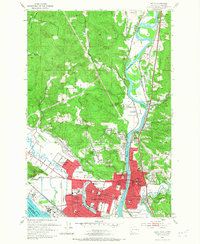
1953 Map of Kelso
USGS Topo · Published 1967About this map
The industrial and educational hub of Longview and Kelso dominates the confluence of the Cowlitz River and the Columbia River in this mid-century survey. The planned urban geometry of Longview is clearly visible, featuring Lake Sacajawea and institutional anchors like Lower Columbia Jr College and R A Long HS. To the north, the landscape transitions into the hills around Beacon Hill and Lexington, where the Pacific Hy and several major rail lines including the Great Northern Northern Pacific & Union Pacific trace the river valley.
Find a feature on this map
63 named features on this map. Tap any name to fly to it.
Don’t see what you’re looking for? This feature index may not catch every label — zoom into the map to look around manually.
Map Details
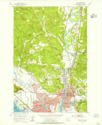
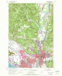
Editions of this 1953 Kelso Map
3 editions found
Other maps of this area

1919 · Mayger
USGS Topo · 1:62,500

1921 · Kalama
USGS Topo · 1:62,500

1941 · Olequa
USGS Topo · 1:62,500

1941 · Clatskanie
USGS Topo · 1:62,500

1952 · Clatskanie
USGS Topo · 1:62,500

1953 · Hoquiam
USGS Topo · 1:250,000

1953 · Castle Rock
USGS Topo · 1:62,500

1953 · Mt. Brynion
USGS Topo · 1:24,000

1953 · Ryderwood
USGS Topo · 1:62,500

1953 · Rainier
USGS Topo · 1:24,000