
1953 Map of Rainier
USGS Topo · Published 1955About this map
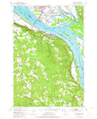
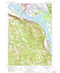
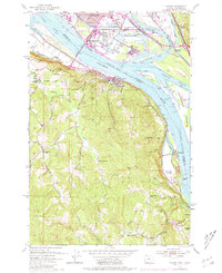
Industrial activity along the Columbia River dominates this mid-century survey, where the Port of Longview and a massive Sawmill anchor the Washington shoreline. Across the water in Oregon, the town of Rainier sits at the foot of steep, creek-cut hillsides. The landscape is defined by the complex hydrology of the river, featuring Cottonwood Island and various side channels like Slaughters Channel and Carrolls Channel.
Find a feature on this map
54 named features on this map. Tap any name to fly to it.
Don’t see what you’re looking for? This feature index may not catch every label — zoom into the map to look around manually.
Map Details
Editions of this 1953 Rainier Map
4 editions found
Other maps of this area

1919 · Mayger
USGS Topo · 1:62,500

1921 · Kalama
USGS Topo · 1:62,500

1922 · St. Helens
USGS Topo · 1:62,500

1940 · Vernonia
USGS Topo · 1:62,500

1941 · St Helens
USGS Topo · 1:62,500

1941 · Clatskanie
USGS Topo · 1:62,500

1943 · Vernonia
USGS Topo · 1:62,500

1943 · St Helens
USGS Topo · 1:62,500

1948 · Vancouver
USGS Topo · 1:250,000

1950 · Vancouver
USGS Topo · 1:250,000