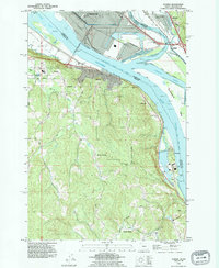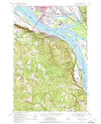
1953 Map of Rainier
USGS Topo · Published 1971About this map
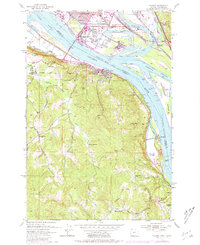
The Columbia River forms the industrial and geographical spine of this 1953 survey, where the bustling Port of Longview and massive Sawmill operations dominate the Washington shore. On the Oregon side, the riverbank is punctuated by riverfront settlements like Rainier and Prescott, connected by the Burlington Northern railroad. The map records a landscape transitioning from heavy timber and maritime industry to mid-century infrastructure, featuring the U S Naval Reserve Training Center and the Kelso Municipal Airport. Inland, the terrain rises sharply into the timbered heights above Beaver Valley, where small rural schoolhouses like Hudson Sch and Fernhill Sch served isolated communities. Genealogists will find particular value in the detailed locations of the Knights of Pythias Cem and the Neer City Cem, which anchor the histories of these riverside townships.
Find a feature on this map
51 named features on this map. Tap any name to fly to it.
Don’t see what you’re looking for? This feature index may not catch every label — zoom into the map to look around manually.
Map Details
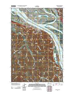
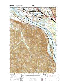
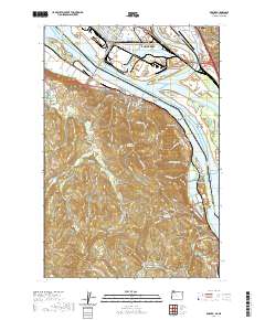
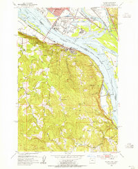
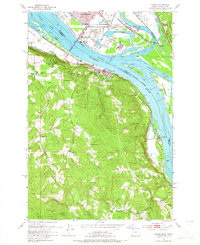
Editions of this 1953 Rainier Map
4 editions found
Historical Maps of Longview Through Time
7 maps found