
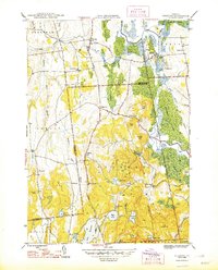
1895 Map of Castleton
USGS Topo · Published 1960About this map
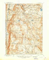
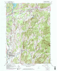
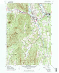
The waters of Lake Bomoseen dominate the western landscape of this late 19th-century survey, a focal point for the lakeside communities of West Castleton and Hydeville. The region is defined by a dense network of mountain peaks and valley settlements, where the industrial influence of the Delaware and Hudson RR and the Rutland and Washington RR facilitated the movement of goods between rural Vermont and the New York boundary. Small industrial hubs like Pittsford Mills and Proctor contrast with the rugged interior heights of Bird Mountain and Herrick Mountain.
Find a feature on this map
89 named features on this map. Tap any name to fly to it.
Don’t see what you’re looking for? This feature index may not catch every label — zoom into the map to look around manually.
Map Details
Editions of this 1895 Castleton Map
This is the sole edition of this map. No revisions or reprints were ever made.
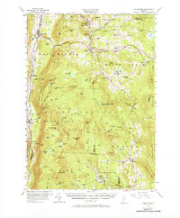
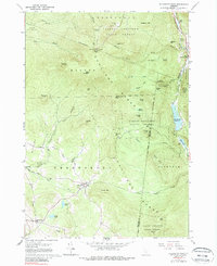
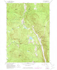
Historical Maps of Rutland City Through Time
39 maps found
1893 Wallingford
Rutland County, VT
1895 Castleton
Rutland County, VT

1897 Castleton
Rutland County, VT
1944 Bomoseen
Rutland County, VT
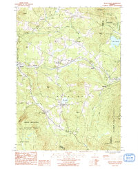
1946 Benson
Rutland County, VT

1946 Brandon
Rutland County, VT
1946 Sudbury
Rutland County, VT

1948 Benson
Rutland County, VT
1948 Sudbury
Rutland County, VT
1955 Wallingford
Rutland County, VT
1961 Killington Peak
Rutland County, VT
1961 Pico Peak
Rutland County, VT
1964 Poultney
Rutland County, VT
1964 West Rutland
Rutland County, VT
1967 Dorset
Rutland County, VT
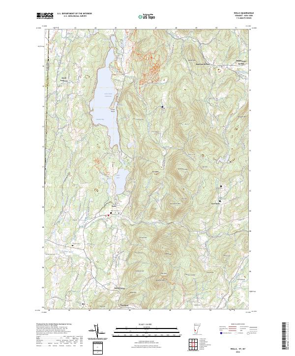
1967 Wells
Rutland County, VT

1970 Mount Carmel
Rutland County, VT
1986 Mount Holly
Rutland County, VT

1986 Wallingford
Rutland County, VT

1997 Brandon
Rutland County, VT

1997 Dorset
Rutland County, VT

1997 Killington Peak
Rutland County, VT

1997 Mount Carmel
Rutland County, VT

1997 Mount Holly
Rutland County, VT

1997 Pico Peak
Rutland County, VT

1997 Wallingford
Rutland County, VT
2024 Benson
Rutland County, VT
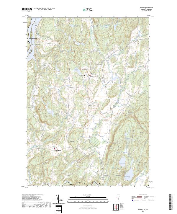
2024 Bomoseen
Rutland County, VT
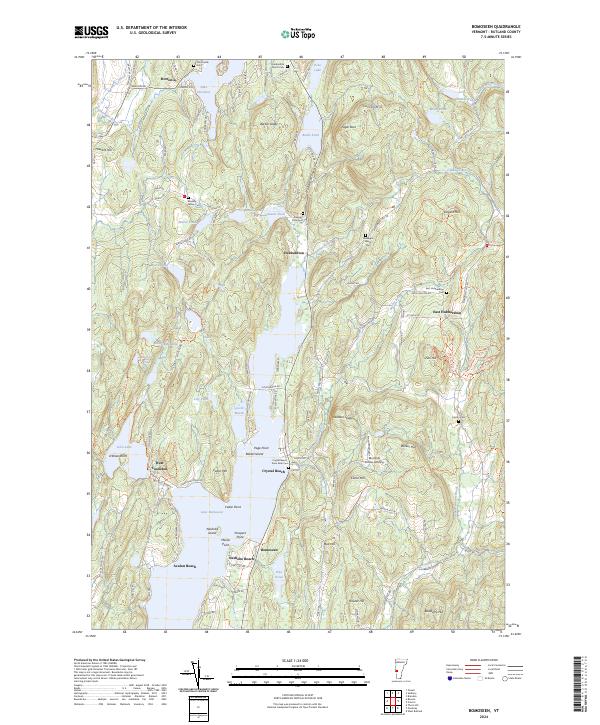
2024 Brandon
Rutland County, VT
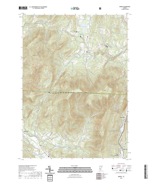
2024 Dorset
Rutland County, VT
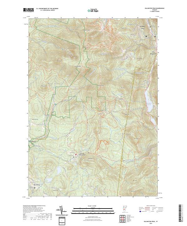
2024 Killington Peak
Rutland County, VT
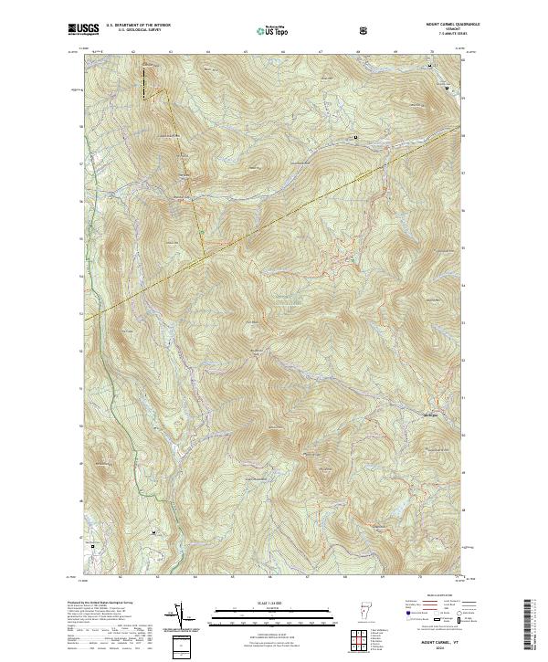
2024 Mount Carmel
Rutland County, VT
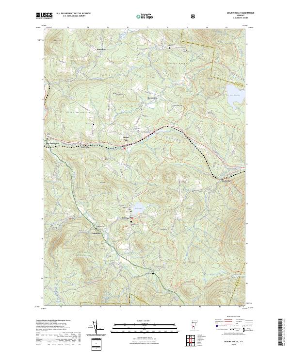
2024 Mount Holly
Rutland County, VT
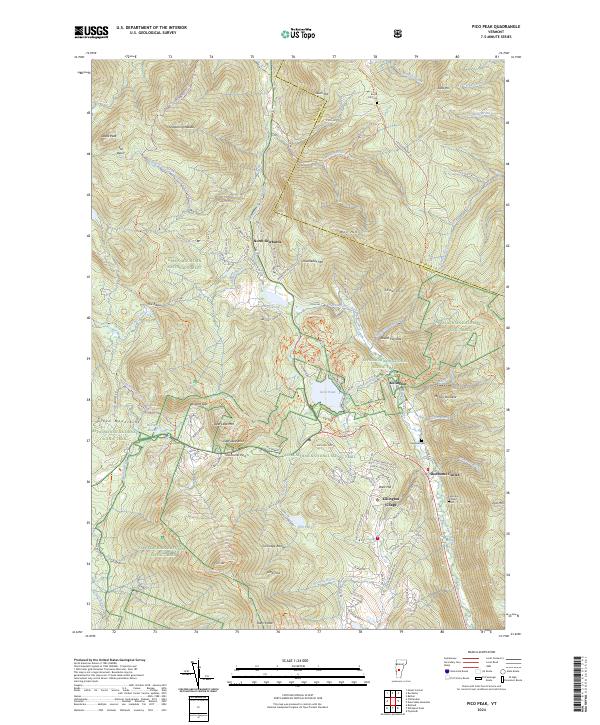
2024 Pico Peak
Rutland County, VT
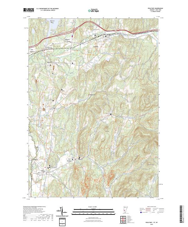
2024 Poultney
Rutland County, VT
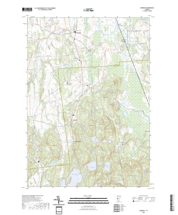
2024 Sudbury
Rutland County, VT
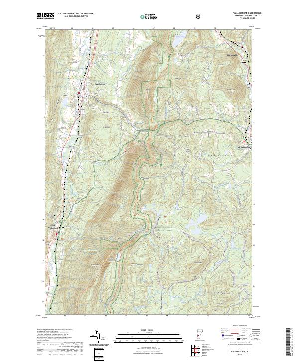
2024 Wallingford
Rutland County, VT
2024 Wells
Rutland County, VT
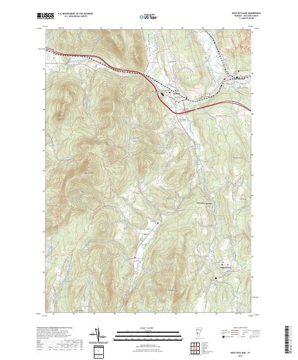
2024 West Rutland
Rutland County, VT