Loading...
Loading map...1969 Map of Castlewood
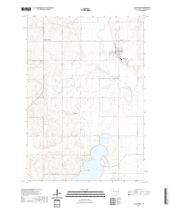
USGS Topo · Published 1971About this map
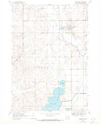
Castlewood occupies the northeastern corner of this South Dakota landscape, positioned where the Chicago And North Western railroad parallels the winding path of the Big Sioux River. The area’s water management and recreation are central features, evidenced by the expansive Dry Lake in the south and the smaller Lake Florence nearby. The presence of the Boswell Diversion Ditch indicates the agricultural and hydraulic engineering necessary for the local topography.
Find a feature on this map
18 named features on this map. Tap any name to fly to it.
Don’t see what you’re looking for? This feature index may not catch every label — zoom into the map to look around manually.
Map Details
Date Portrayed1969
Date Published1971
PublisherU.S. Geological Survey
Map TypeTopographic
Scale1:24,000
Physical Dimensions22 x 26.8 inches
Editions of this 1969 Castlewood Map
This is the sole edition of this map. No revisions or reprints were ever made.
Historical Maps of Castlewood Through Time
5 maps found
Featured Locations
- Dempster Township, SD
- Estelline Township, SD
- Hamlin Township, SD
- Norden Township, SD
- Castlewood, Castlewood Township
Source Details
SourceU.S. Geological Survey
CopyrightPublic Domain