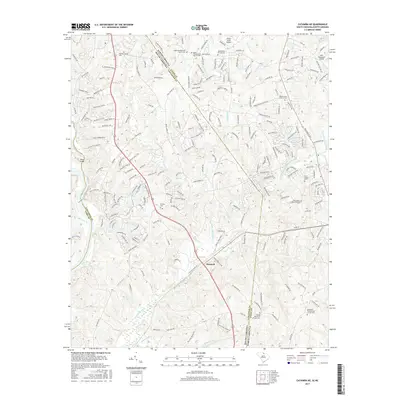
2017 Map of Catawba NE
USGS Topo · Published 2017About this map
Hancock anchors this survey of the borderlands where the Carolinas meet, a landscape defined by an intricate network of waterways like Twelvemile Creek and Sixmile Creek. The map documents a significant concentration of communal and religious sites that serve as vital touchstones for family historians. From Banks Presbyterian Church Cemetery in the north to Rehobeth Presbyterian Church Cemetery in the south, these burial grounds and sanctuaries illustrate the long-standing settlement patterns of Union and Lancaster Counties. Modern development and private aviation, represented by Hawk's Knoll Airport and Aero Plantation Airport, sit alongside older landmarks such as Dobys Bridge. This 2017 edition provides a clear record of the area's transition, showing where suburban residential streets such as Sun City Boulevard and Del Webb Boulevard have begun to thread through the traditional creek-side terrain.
Find a feature on this map
214 named features on this map. Tap any name to fly to it.
Don’t see what you’re looking for? This feature index may not catch every label — zoom into the map to look around manually.
Map Details
Editions of this 2017 Catawba NE Map
This is the sole edition of this map. No revisions or reprints were ever made.
Other maps of this area

1905 · Charlotte
USGS Topo · 1:48,000

1907 · Charlotte
USGS Topo · 1:62,500

1941 · Charlotte
USGS Topo · 1:125,000

1941 · Spartanburg
USGS Topo · 1:250,000

1942 · Charlotte
USGS Topo · 1:125,000

1953 · Spartanburg
USGS Topo · 1:250,000

1953 · Charlotte
USGS Topo · 1:250,000

1954 · Charlotte
USGS Topo · 1:250,000

1960 · Charlotte
USGS Topo · 1:250,000

1960 · Spartanburg
USGS Topo · 1:250,000