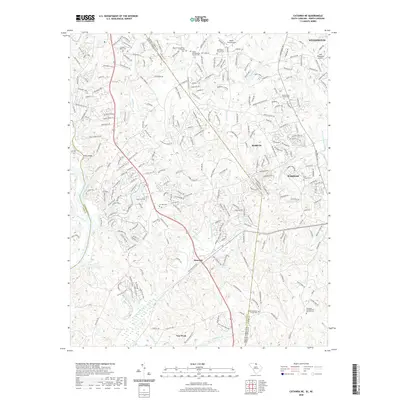
2020 Map of Catawba NE
USGS Topo · Published 2020About this map
Twelvemile Creek and its many tributaries, including Sixmile Cr and Tar Kiln Br, carve through this section of the Piedmont where the suburban growth of Marvin and Weddington meets the South Carolina border. The landscape is dotted with several significant local landmarks for genealogists, including Banks Presbyterian Church Cem and the Heath Memorial Church Cem near Hancock. The map details a transition from the denser residential developments near Waxhaw to the more open lands surrounding Van Wyck. Notable private aviation facilities like Aero Plantation Airport and Hawk's Knoll Airport serve the area, while the Catawba River defines the western edge of this corridor.
Find a feature on this map
248 named features on this map. Tap any name to fly to it.
Don’t see what you’re looking for? This feature index may not catch every label — zoom into the map to look around manually.
Map Details
Editions of this 2020 Catawba NE Map
This is the sole edition of this map. No revisions or reprints were ever made.
Other maps of this area

1905 · Charlotte
USGS Topo · 1:48,000

1907 · Charlotte
USGS Topo · 1:62,500

1941 · Charlotte
USGS Topo · 1:125,000

1941 · Spartanburg
USGS Topo · 1:250,000

1942 · Charlotte
USGS Topo · 1:125,000

1953 · Spartanburg
USGS Topo · 1:250,000

1953 · Charlotte
USGS Topo · 1:250,000

1954 · Charlotte
USGS Topo · 1:250,000

1960 · Charlotte
USGS Topo · 1:250,000

1960 · Spartanburg
USGS Topo · 1:250,000