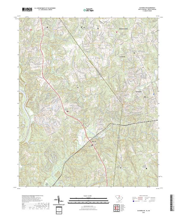
2024 Map of Catawba NE
USGS Topo · Published 2024About this map
The Catawba River forms the western boundary of this landscape, where the growing communities of Weddington, Marvin, and Waxhaw meet along the state line. This modern survey illustrates the suburban transition of the Carolina Piedmont, where residential developments like Bowers Pond and names like Possum Hollow Rd reflect the area's rural roots and shifting land use.
Find a feature on this map
293 named features on this map. Tap any name to fly to it.
Don’t see what you’re looking for? This feature index may not catch every label — zoom into the map to look around manually.
Map Details
Editions of this 2024 Catawba NE Map
This is the sole edition of this map. No revisions or reprints were ever made.
Other maps of this area

1905 · Charlotte
USGS Topo · 1:48,000

1907 · Charlotte
USGS Topo · 1:62,500

1941 · Charlotte
USGS Topo · 1:125,000

1941 · Spartanburg
USGS Topo · 1:250,000

1942 · Charlotte
USGS Topo · 1:125,000

1953 · Spartanburg
USGS Topo · 1:250,000

1953 · Charlotte
USGS Topo · 1:250,000

1954 · Charlotte
USGS Topo · 1:250,000

1960 · Charlotte
USGS Topo · 1:250,000

1960 · Spartanburg
USGS Topo · 1:250,000