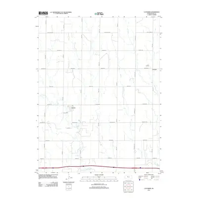
2012 Map of Catharine
USGS Topo · Published 2012About this map
Catharine and Emmeram anchor this section of the High Plains, where the grid of Ellis County roads meets the wandering paths of N Fork Big Cr, Mud Cr, and Walker Cr. The settlement at Catharine is marked by its post office, labeled Po, and the nearby Saint Catharina Cem, while the smaller community of Emmeram to the north includes Sacred Heart Cem. This landscape reflects a late-period agricultural character, defined by long straight thoroughfares like Catherine Rd and Cathedral Ave that divide the drainages. The map reveals the persistence of early German-Russian immigrant settlements in Kansas, preserving the distinct locations of parish-centered villages even as the surrounding countryside remains largely dedicated to large-scale ranching and farming.
Find a feature on this map
26 named features on this map. Tap any name to fly to it.
Don’t see what you’re looking for? This feature index may not catch every label — zoom into the map to look around manually.
Map Details
Editions of this 2012 Catharine Map
This is the sole edition of this map. No revisions or reprints were ever made.
Other maps of this area
1896 · Hays
USGS Topo · 1:125,000
1896 · Plainville
USGS Topo · 1:125,000

1955 · Great Bend
USGS Topo · 1:250,000

1955 · Beloit
USGS Topo · 1:250,000

1957 · Great Bend
USGS Topo · 1:250,000

1958 · Great Bend
USGS Topo · 1:250,000

1959 · Beloit
USGS Topo · 1:250,000
1961 · Hays South
USGS Topo · 1:24,000
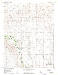
1961 · Catharine
USGS Topo · 1:24,000
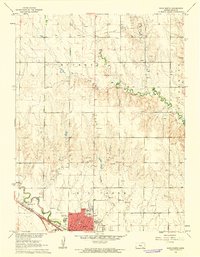
1961 · Hays North
USGS Topo · 1:24,000