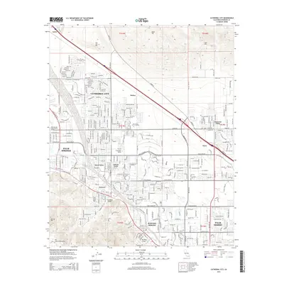
2015 Map of Cathedral City
USGS Topo · Published 2015About this map
Cathedral City and the neighboring desert communities of Palm Springs, Rancho Mirage, and Palm Desert form a dense grid of residential and recreational development against the dramatic rise of the San Jacinto Mountains. This 2015 survey illustrates the modern layout of the Coachella Valley, showing how the urban fabric has expanded around older landmarks like the Palm Springs District Cemetery and the Palm Springs International Airport.
Find a feature on this map
38 named features on this map. Tap any name to fly to it.
Don’t see what you’re looking for? This feature index may not catch every label — zoom into the map to look around manually.
Map Details
Editions of this 2015 Cathedral City Map
This is the sole edition of this map. No revisions or reprints were ever made.
Other maps of this area

1901 · Southern California Sheet No. 1
USGS Topo · 1:250,000

1901 · San Jacinto
USGS Topo · 1:125,000

1904 · Indio
USGS Topo · 1:125,000

1904 · Southern California Sheet No. 1
USGS Topo · 1:250,000

1940 · Palm Springs
USGS Topo · 1:62,500

1940 · Hemet Reservoir
USGS Topo · 1:62,500

1941 · Toro Peak
USGS Topo · 1:62,500

1941 · Edom
USGS Topo · 1:62,500

1942 · Hemet Reservoir
USGS Topo · 1:62,500

1944 · Toro peak
USGS Topo · 1:62,500