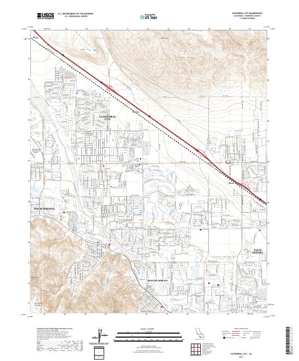
2021 Map of Cathedral City
USGS Topo · Published 2021About this map
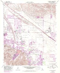
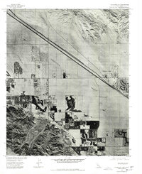
Cathedral City and Rancho Mirage anchor this detailed 2021 study of the urbanized Coachella Valley. The landscape is defined by the sharp transition between dense residential development and the formidable rises of the San Jacinto Mountains and Indio Hills. Tracing the natural drainage of the Whitewater River and Palm Canyon Wash, the map illustrates how modern infrastructure has adapted to the desert floor. To the north and east, more isolated points like Salvia, Rimlon, and Edom sit along the rail corridor beneath Flat Top Mtn. The survey includes major thoroughfares honoring regional icons, such as Frank Sinatra Dr and Bing Crosby Dr, alongside community landmarks like Forest Lawn Memorial Park. This contemporary edition provides an essential reference for understanding the modern boundary between desert wilderness and suburban expansion in eastern Riverside County.
Find a feature on this map
41 named features on this map. Tap any name to fly to it.
Don’t see what you’re looking for? This feature index may not catch every label — zoom into the map to look around manually.
Map Details
Editions of this 2021 Cathedral City Map
This is the sole edition of this map. No revisions or reprints were ever made.
Historical Maps of Palm Desert Through Time
3 maps found