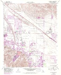
1958 Map of Cathedral City
USGS Topo · Published 1988About this map
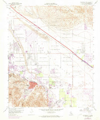
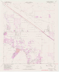
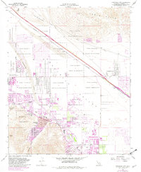
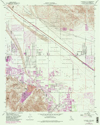
The Agua Caliente Indian Reservation dominates this mid-century landscape, illustrating the complex checkerboard land ownership patterns that shaped the Coachella Valley's development. While the Southern Pacific railroad provides the primary industrial spine through the desert floor, the emergence of luxury recreation is evident in the established footprints of the Tamarisk Country Club and Thunderbird Country Club. The map documents a period of significant urban expansion, with purple-tinted revisions showing the growth of Cathedral City and Rancho Mirage as they pushed toward the surrounding mountains. Notable landmarks include the Palm Springs Municipal Airport and the Palm Valley School, alongside smaller settlements like Thousand Palms and Edom. The rugged northern terrain of the Indio Hills and Flat Top Mountain contrasts sharply with the developing residential grids and the medical facilities at the Eisenhower Medical Center.
Find a feature on this map
31 named features on this map. Tap any name to fly to it.
Don’t see what you’re looking for? This feature index may not catch every label — zoom into the map to look around manually.
Map Details
Editions of this 1958 Cathedral City Map
8 editions found
Other maps of this area

1901 · Southern California Sheet No. 1
USGS Topo · 1:250,000

1901 · San Jacinto
USGS Topo · 1:125,000

1904 · Indio
USGS Topo · 1:125,000

1904 · Southern California Sheet No. 1
USGS Topo · 1:250,000

1940 · Palm Springs
USGS Topo · 1:62,500

1940 · Hemet Reservoir
USGS Topo · 1:62,500

1941 · Toro Peak
USGS Topo · 1:62,500

1941 · Edom
USGS Topo · 1:62,500

1942 · Hemet Reservoir
USGS Topo · 1:62,500

1944 · Toro peak
USGS Topo · 1:62,500