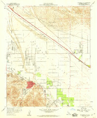
1958 Map of Cathedral City
USGS Topo · Published 1960About this map
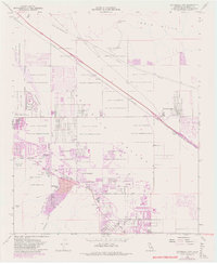
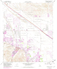
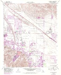
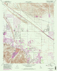
Agua Caliente Indian Reservation lands dominate this late-1950s survey of the central Coachella Valley, documenting a period of rapid mid-century growth. The nascent development of Cathedral City is clearly visible along the Whitewater River, contrasted against the older desert outposts and stops along the Southern Pacific railroad line such as Edom and Rimlon. The transition from an agricultural and rail-oriented economy to a leisure-driven desert destination is marked by the appearance of the Tamarisk Country Club and the Drive-in Theater. To the north, the Indio Hills and Flat Top Mountain provide a stark backdrop to the expanding grid of Ramon Road, while established community cornerstones like the Palm Valley School and the Palm Springs Dist Cem anchor the local geography for researchers.
Find a feature on this map
29 named features on this map. Tap any name to fly to it.
Don’t see what you’re looking for? This feature index may not catch every label — zoom into the map to look around manually.
Map Details
Editions of this 1958 Cathedral City Map
8 editions found
Other maps of this area

1901 · Southern California Sheet No. 1
USGS Topo · 1:250,000

1901 · San Jacinto
USGS Topo · 1:125,000

1904 · Indio
USGS Topo · 1:125,000

1904 · Southern California Sheet No. 1
USGS Topo · 1:250,000

1940 · Palm Springs
USGS Topo · 1:62,500

1940 · Hemet Reservoir
USGS Topo · 1:62,500

1941 · Toro Peak
USGS Topo · 1:62,500

1941 · Edom
USGS Topo · 1:62,500

1942 · Hemet Reservoir
USGS Topo · 1:62,500

1944 · Toro peak
USGS Topo · 1:62,500