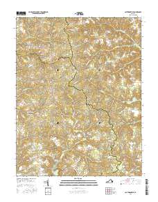
2016 Map of Cauthornville
USGS Topo · Published 2016About this map
Cauthornville and Owenton anchor the southern reaches of this landscape where the boundaries of King and Queen, Essex, and Caroline counties converge. The terrain is defined by a dense network of hydrologic features, including the extensive King and Queen Swamp and several significant drainages like Hoskins Cr and Chapel Creek. These water systems historically influenced the placement of early settlements and agricultural tracts, visible here through the distribution of crossroads communities such as Indian Neck and Beazley.
Find a feature on this map
58 named features on this map. Tap any name to fly to it.
Don’t see what you’re looking for? This feature index may not catch every label — zoom into the map to look around manually.
Map Details
Editions of this 2016 Cauthornville Map
This is the sole edition of this map. No revisions or reprints were ever made.
Other maps of this area

1889 · Fredericksburg
USGS Topo · 1:125,000

1892 · Fredericksburg
USGS Topo · 1:125,000

1892 · Montross
USGS Topo · 1:62,500

1894 · Fredericksburg
USGS Topo · 1:125,000

1895 · Nomini
USGS Topo · 1:125,000

1895 · Montross
USGS Topo · 1:62,500

1898 · Nomini
USGS Topo · 1:125,000

1918 · Tappahannock
USGS Topo · 1:62,500

1918 · Aylett
USGS Topo · 1:62,500

1919 · Tappahannock
USGS Topo · 1:62,500