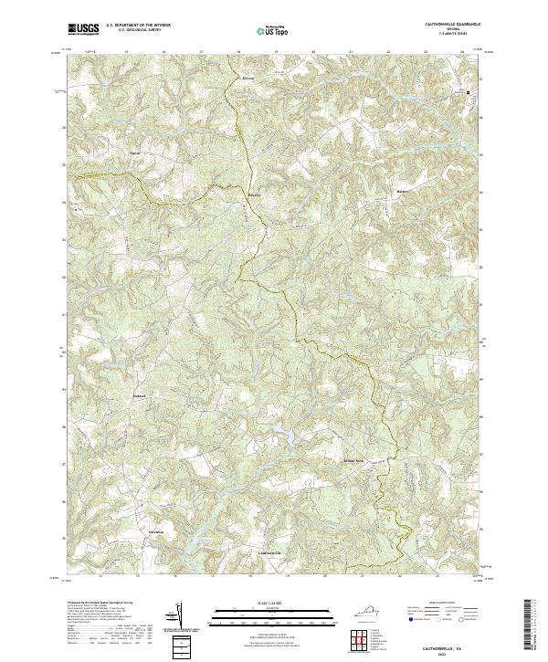
2022 Map of Cauthornville
USGS Topo · Published 2022About this map
Indian Neck and Cauthornville anchor this map of the rural crossroads where King and Queen, Essex, and Caroline counties meet. The landscape is defined by the winding drainages of Hoskins Cr and Chapel Creek, which feed into the extensive wetlands of the King and Queen Swamp. This topography created a decentralized settlement pattern, with small communities like Beazley and Owenton situated on the higher ground between creek valleys. Historically significant sites such as the Upper Essex Cem and the Garnett Millpond reflect the long-standing agricultural and local industrial foundations of the region. The network of secondary roads, including Indian Neck Rd and State Rte 640, traces the traditional routes connecting these Tidewater upland communities.
Find a feature on this map
61 named features on this map. Tap any name to fly to it.
Don’t see what you’re looking for? This feature index may not catch every label — zoom into the map to look around manually.
Map Details
Editions of this 2022 Cauthornville Map
This is the sole edition of this map. No revisions or reprints were ever made.
Other maps of this area

1889 · Fredericksburg
USGS Topo · 1:125,000

1892 · Fredericksburg
USGS Topo · 1:125,000

1892 · Montross
USGS Topo · 1:62,500

1894 · Fredericksburg
USGS Topo · 1:125,000

1895 · Nomini
USGS Topo · 1:125,000

1895 · Montross
USGS Topo · 1:62,500

1898 · Nomini
USGS Topo · 1:125,000

1918 · Tappahannock
USGS Topo · 1:62,500

1918 · Aylett
USGS Topo · 1:62,500

1919 · Tappahannock
USGS Topo · 1:62,500