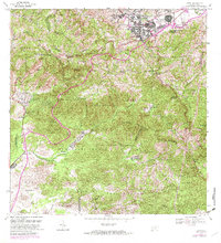
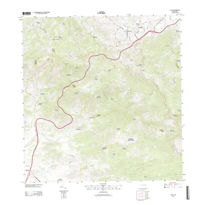
1972 Map of Cayey
USGS Topo · Published 1982About this map
The mountain town of Cayey serves as the focal point for this 1970s landscape, where the urban grid meets the steep topography of the Sierra de Cayey. The area is marked by a mix of institutional and agricultural history, featuring the Observatorio Geofisico de San Juan U. S. Reservation and the Castillo del Gobernador. Moving south into the cordillera, the settlement pattern shifts to smaller communities and estates like Hacienda Clavell and Hacienda Julia, reflecting the region's coffee and tobacco-growing heritage. Notable peaks like Las Tetas and Peñon de los Soldados define the horizon, while the Camp Santiago U. S. Military Reservation extends into the southwestern corner. This era of the map shows the expansion of the Escuela Cayey-UPR campus, capturing a period of significant educational and infrastructural growth for the municipality.
Find a feature on this map
49 named features on this map. Tap any name to fly to it.
Don’t see what you’re looking for? This feature index may not catch every label — zoom into the map to look around manually.
Map Details
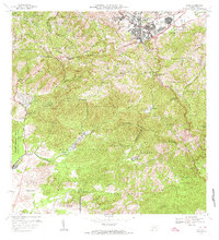
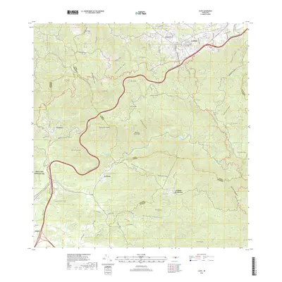
Editions of this 1972 Cayey Map
2 editions found
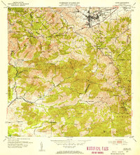
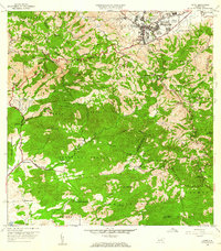
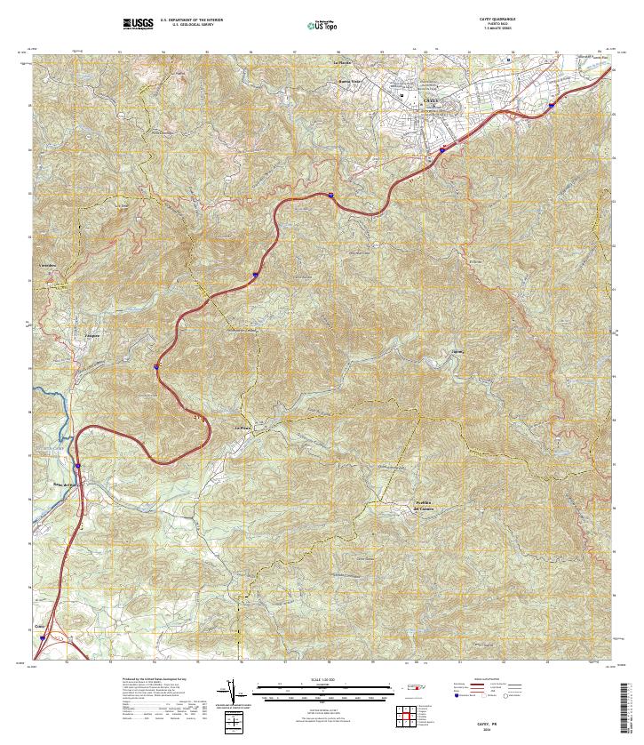
Historical Maps of Cayey Through Time
7 maps found

Featured Locations
- Sector La Sierra, Aibonito
- Alturas de Cantera, Cayey
- Cayey, Cayey
- Sector Ramón Malavé, Cayey
- Sector Rústico Rivera, Cayey