Loading...
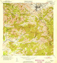
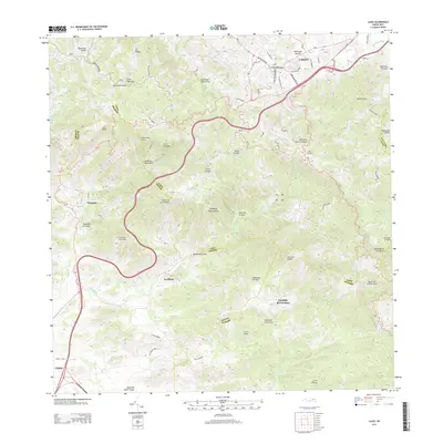
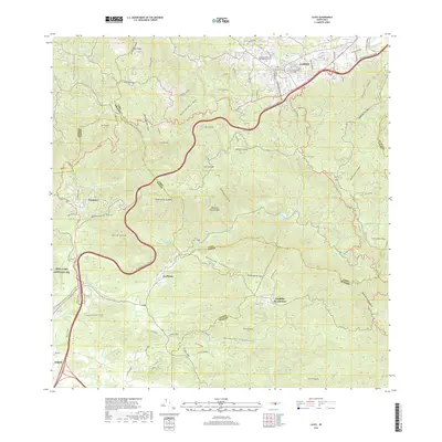
Loading map...1953 Map of Cayey
USGS Topo · Published 1953About this map
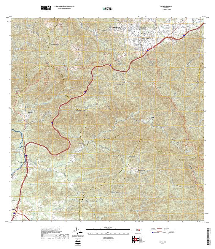
Cayey serves as the central hub of this mid-century survey, flanked by the residential districts of Pueblo Norte and Pueblo Sur. The town is positioned at a strategic junction where the Carretera Central meets the rugged slopes of the Cordillera Central. Notable civic and religious landmarks anchor the community, including the Escuela Rexford G Tugwell and the Iglesia Sagrado Corazón.
Find a feature on this map
70 named features on this map. Tap any name to fly to it.
Don’t see what you’re looking for? This feature index may not catch every label — zoom into the map to look around manually.
Map Details
Date Portrayed1953
Date Published1953
PublisherU.S. Geological Survey
Map TypeTopographic
Scale1:30,000
Physical Dimensions19.7 x 21.8 inches
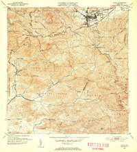
Editions of this 1953 Cayey Map
2 editions found
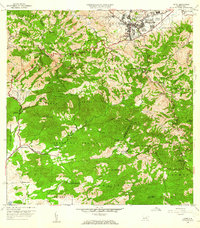
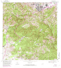
Historical Maps of Cayey Through Time
7 maps found

Featured Locations
- Sector La Sierra, Aibonito
- Alturas de Cantera, Cayey
- Cayey, Cayey
- Sector Ramón Malavé, Cayey
- Sector Rústico Rivera, Cayey
Source Details
SourceU.S. Geological Survey
CopyrightPublic Domain