
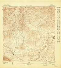
1947 Map of Cayey SO
USGS Topo · Published 1947About this map
Agricultural life in southern Puerto Rico during the 1940s is defined by a network of estate headquarters, most notably Hacienda Clavell, Hacienda Hucar, and Hacienda Julia. These centers of activity are positioned along the fertile valleys formed by the Río Majada and the Quebrada Carmen. The rugged landscape rises toward the Cerro de los Cielos, marking the boundary between the municipios of Cayey, Salinas, and Guayama.
Find a feature on this map
13 named features on this map. Tap any name to fly to it.
Don’t see what you’re looking for? This feature index may not catch every label — zoom into the map to look around manually.
Map Details
Editions of this 1947 Cayey SO Map
This is the sole edition of this map. No revisions or reprints were ever made.
Other maps of this area

1945 · Central Aguirre
USGS Topo · 1:30,000

1945 · Salinas
USGS Topo · 1:30,000

1946 · Coamo
USGS Topo · 1:30,000

1946 · Cayey
USGS Topo · 1:30,000

1947 · Cayey NO
USGS Topo · 1:10,000
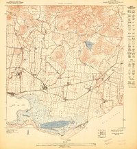
1947 · Central Aguirre NE
USGS Topo · 1:10,000
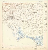
1947 · Salinas NE
USGS Topo · 1:10,000
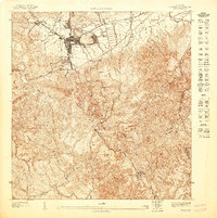
1947 · Cayey NE
USGS Topo · 1:10,000
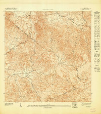
1947 · Coamo NE
USGS Topo · 1:10,000
1947 · Coamo SE
USGS Topo · 1:10,000