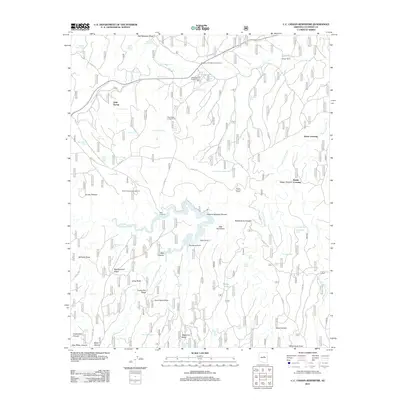
2011 Map of C.C. Cragin Reservoir
USGS Topo · Published 2011About this map
The C.C. Cragin Reservoir and its surrounding high-country terrain define this landscape within the Coconino National Forest. The reservoir, fed by East Clear Creek, is central to a network of drainage systems including General Springs Canyon, Barbershop Canyon, and Houston Draw. This 2011 survey reveals an area managed for both recreation and utility, featuring the Mogollon Rim Ranger District Office and the Moqui Lookout Tower. Cultural landmarks like Moqui Ranch and the Blue Ridge Campground suggest the dual nature of this region as a working forest and a recreational destination. The map documents numerous livestock tanks and springs, such as Little Spring and Big Moqui Spring, which are vital in this arid upland environment. The presence of the Mogollon Rim Maintenance Yard and various Forest Service roads like FS RD 95 and FS RD 321 illustrate the infrastructure required to maintain this complex geography of ridges and draws, including Battleground Ridge and Turkey Pen Ridge.
Find a feature on this map
91 named features on this map. Tap any name to fly to it.
Don’t see what you’re looking for? This feature index may not catch every label — zoom into the map to look around manually.
Map Details
Editions of this 2011 C.C. Cragin Reservoir Map
This is the sole edition of this map. No revisions or reprints were ever made.
Other maps of this area
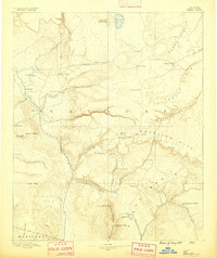
1887 · Verde
USGS Topo · 1:250,000
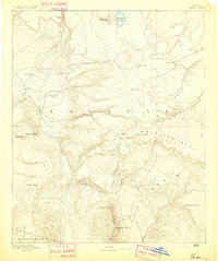
1892 · Verde
USGS Topo · 1:250,000
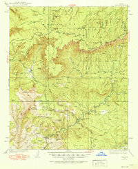
1934 · Pine
USGS Topo · 1:62,500
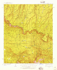
1934 · Promontory Butte
USGS Topo · 1:62,500
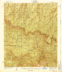
1939 · Promontory Butte
USGS Topo · 1:62,500
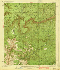
1940 · Pine
USGS Topo · 1:62,500
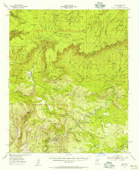
1952 · Pine
USGS Topo · 1:62,500
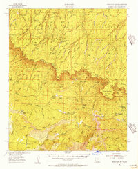
1952 · Promontory Butte
USGS Topo · 1:62,500
1954 · Holbrook
USGS Topo · 1:250,000
1957 · Holbrook
USGS Topo · 1:250,000