
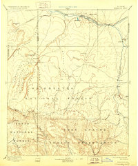
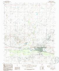
1957 Map of Holbrook
USGS Topo · Published 1957About this map
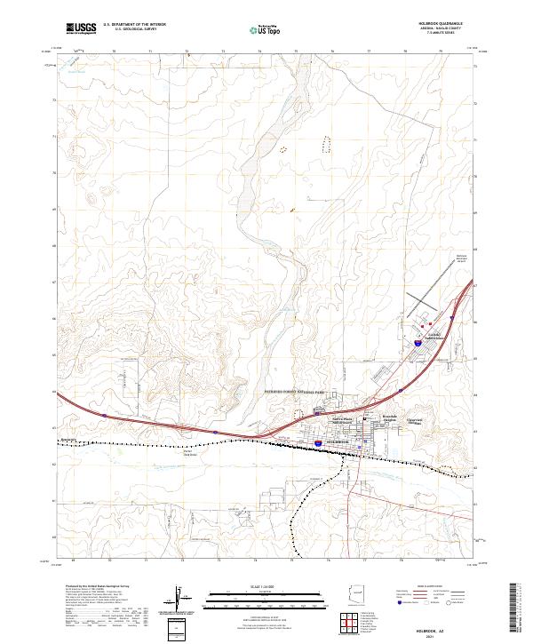
The Mogollon Rim serves as the dominant geological divide in this mid-century survey, separating the high desert plains of the north from the dramatic escarpments and canyons to the south. The settlement of Holbrook sits at the northern edge along the Little Colorado River, anchored by the Atchison Topeka and Santa Fe railroad and U.S. 66. This intersection of rail and road highlights the town's role as a vital transportation hub for Northern Arizona before the interstate era.
Find a feature on this map
105 named features on this map. Tap any name to fly to it.
Don’t see what you’re looking for? This feature index may not catch every label — zoom into the map to look around manually.
Map Details
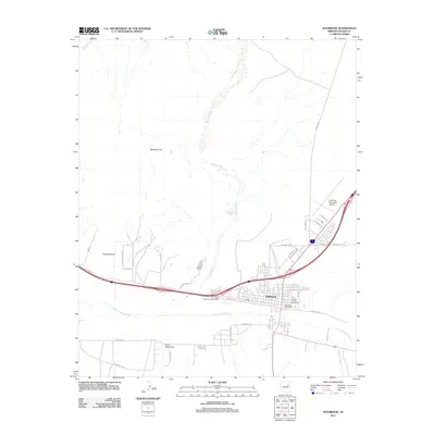
Editions of this 1957 Holbrook Map
This is the sole edition of this map. No revisions or reprints were ever made.
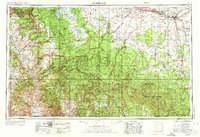
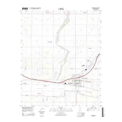
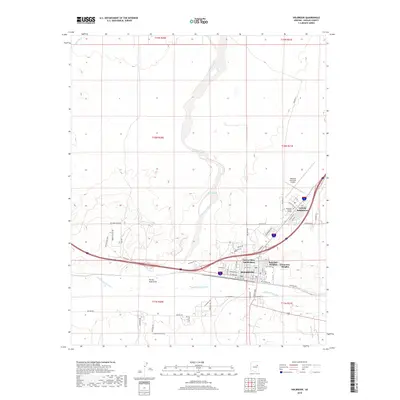
Historical Maps of Payson Through Time
13 maps found

1886 Holbrook
Navajo County, AZ
1893 Holbrook
Navajo County, AZ
1954 Holbrook
Navajo County, AZ
1955 Holbrook
Navajo County, AZ
1957 Holbrook
Navajo County, AZ

1958 Holbrook
Navajo County, AZ

1960 Holbrook
Navajo County, AZ
1980 Holbrook
Navajo County, AZ
1986 Holbrook
Navajo County, AZ
2011 Holbrook
Navajo County, AZ
2014 Holbrook
Navajo County, AZ
2018 Holbrook
Navajo County, AZ
2021 Holbrook
Navajo County, AZ