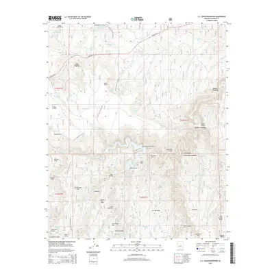
2014 Map of C.C. Cragin Reservoir
USGS Topo · Published 2014About this map
C.C. Cragin Reservoir sits at the center of this high-country landscape within the Coconino National Forest. The 2014 survey captures a terrain defined by deep drainage systems and high ridges, where water management is critical for the surrounding ecosystem. Named crossings like Kinder Crossing and Horse Crossing along E Clear Cr indicate historic routes across the canyon floors, while the Arizona National Scenic Trail traverses the western edge of the quadrangle.
Find a feature on this map
76 named features on this map. Tap any name to fly to it.
Don’t see what you’re looking for? This feature index may not catch every label — zoom into the map to look around manually.
Map Details
Editions of this 2014 C.C. Cragin Reservoir Map
This is the sole edition of this map. No revisions or reprints were ever made.
Other maps of this area
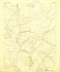
1887 · Verde
USGS Topo · 1:250,000
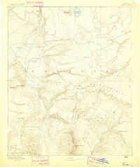
1892 · Verde
USGS Topo · 1:250,000
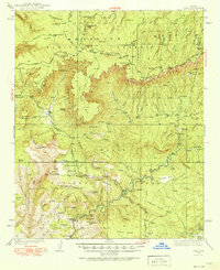
1934 · Pine
USGS Topo · 1:62,500
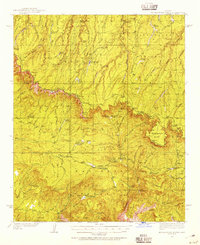
1934 · Promontory Butte
USGS Topo · 1:62,500
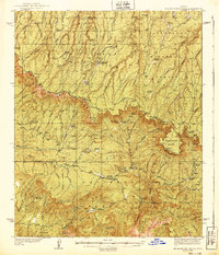
1939 · Promontory Butte
USGS Topo · 1:62,500
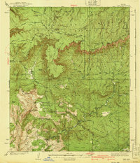
1940 · Pine
USGS Topo · 1:62,500
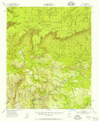
1952 · Pine
USGS Topo · 1:62,500
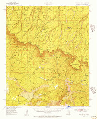
1952 · Promontory Butte
USGS Topo · 1:62,500
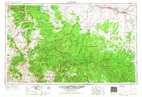
1954 · Holbrook
USGS Topo · 1:250,000
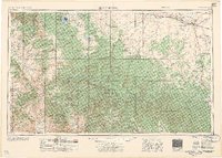
1957 · Holbrook
USGS Topo · 1:250,000