
1977 Map of Cedar Creek Reservoir
USGS Topo · Published 1978About this map
Cedar Creek Reservoir dominates this high-altitude landscape of southern Idaho, serving as a primary water source for the surrounding high-desert plateau. This 1970s survey captures a transition in the land, where established family ranches like the Anderson Place and Hoelzle Place remain alongside several abandoned homesteads identified only as ruins. Remnants of earlier occupation, including the Bergstrom Place, Indian Jim Place, and Hand Place, offer a detailed record of local settlement history near the edges of Indian Jim Canyon.
Find a feature on this map
32 named features on this map. Tap any name to fly to it.
Don’t see what you’re looking for? This feature index may not catch every label — zoom into the map to look around manually.
Map Details
Editions of this 1977 Cedar Creek Reservoir Map
This is the sole edition of this map. No revisions or reprints were ever made.
Other maps of this area

1955 · Twin Falls
USGS Topo · 1:250,000

1958 · Twin Falls
USGS Topo · 1:250,000

1964 · Roseworth
USGS Topo · 1:24,000

1965 · Roseworth SE
USGS Topo · 1:24,000

1977 · Browns Bench South
USGS Topo · 1:24,000

1978 · Taylor Canyon
USGS Topo · 1:24,000

1978 · Browns Bench North
USGS Topo · 1:24,000
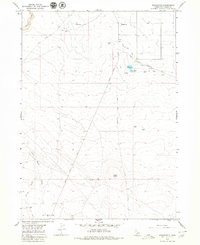
1979 · Roseworth
USGS Topo · 1:24,000
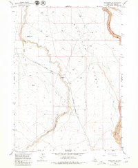
1979 · Roseworth SE
USGS Topo · 1:24,000
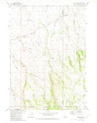
1980 · Curtis Draw
USGS Topo · 1:24,000