
1964 Map of Roseworth
USGS Topo · Published 1966About this map
Roseworth and its surrounding ranchlands are depicted here in the mid-1960s, showing a landscape defined by water management and high-desert cattle operations. The irrigation infrastructure of the Roseworth Lateral and the Cedar Mesa Road Canal feeds the vital Cedar Mesa Reservoir, complete with its marked Spillway. This network is essential for the remote outposts of Conover Ranch and Clark Ranch, situated north of the prominent Pigtail Butte.
Find a feature on this map
19 named features on this map. Tap any name to fly to it.
Don’t see what you’re looking for? This feature index may not catch every label — zoom into the map to look around manually.
Map Details
Editions of this 1964 Roseworth Map
This is the sole edition of this map. No revisions or reprints were ever made.
Other maps of this area

1955 · Twin Falls
USGS Topo · 1:250,000

1958 · Twin Falls
USGS Topo · 1:250,000

1965 · Roseworth SE
USGS Topo · 1:24,000

1965 · Roseworth NE
USGS Topo · 1:24,000

1965 · Tuanna Butte
USGS Topo · 1:24,000

1977 · Cedar Creek Reservoir
USGS Topo · 1:24,000

1978 · Browns Bench North
USGS Topo · 1:24,000

1979 · Coonskin Butte NE
USGS Topo · 1:24,000
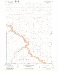
1979 · Roseworth NE
USGS Topo · 1:24,000
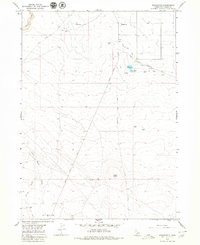
1979 · Roseworth
USGS Topo · 1:24,000