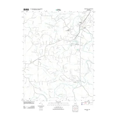
2012 Map of Cedar Hill
USGS Topo · Published 2012About this map
The Big River winds through the heart of Jefferson County in this 2012 survey, defining the landscape of several established communities. The settlement of Cedar Hill and its neighboring Cedar Hill Manor occupy the northeast, while the residential developments around Cedar Hill Lakes and the waters of Lake Adelle are situated further south. This modern topographic record captures the transition from traditional rural hubs like Dittmer and Morse Mill to more contemporary residential layouts, illustrating the persistent importance of the area's water resources and elevation changes.
Find a feature on this map
145 named features on this map. Tap any name to fly to it.
Don’t see what you’re looking for? This feature index may not catch every label — zoom into the map to look around manually.
Map Details
Editions of this 2012 Cedar Hill Map
This is the sole edition of this map. No revisions or reprints were ever made.
Other maps of this area

1901 · De Soto
USGS Topo · 1:125,000

1930 · De Soto NE
USGS Topo · 1:24,000

1930 · Pacific SE
USGS Topo · 1:24,000

1931 · Pacific NE
USGS Topo · 1:24,000

1937 · Pacific
USGS Topo · 1:24,000

1937 · Fletcher
USGS Topo · 1:24,000

1938 · Cedar Hill
USGS Topo · 1:24,000

1938 · Fletcher
USGS Topo · 1:24,000

1940 · Cedar Hill
USGS Topo · 1:24,000

1946 · Richwoods
USGS Topo · 1:62,500