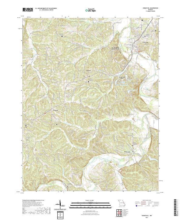
2021 Map of Cedar Hill
USGS Topo · Published 2021About this map
The Big River winds through the southeastern reaches of this Missouri landscape, creating a wide valley that historically supported the settlement of Morse Mill. This area is characterized by a high density of rural cemeteries and churches, indicating deep-rooted family ties and longstanding community centers. Genealogists may find interest in the Bethlehem Church Cem, Wideman Cem, and the Saint Martins United Church Of Christ Cem near Dittmer. The map also reveals localized water management and recreation through the Cedar Hill Lakes development, featuring Lake Adelle and numbered reservoirs. Further north, the curious naming of the One Hundred and One Ranch stands out among the tributary networks of Skullbones Cr and Buck Cr. Smaller hubs like Oermann and the residential core of Cedar Hill anchor the road network, which bridges the boundary between Franklin and Jefferson counties.
Find a feature on this map
140 named features on this map. Tap any name to fly to it.
Don’t see what you’re looking for? This feature index may not catch every label — zoom into the map to look around manually.
Map Details
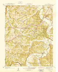
Editions of this 2021 Cedar Hill Map
This is the sole edition of this map. No revisions or reprints were ever made.
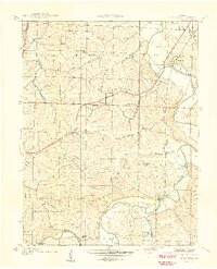
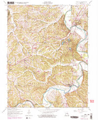
Historical Maps of Meramec Township Through Time
4 maps found
Featured Locations
- Central Township, MO
- High Ridge Township, MO
- Meramec Township, MO
- Morse Mill, Big River Township
- Cedar Hill Lakes, Meramec Township