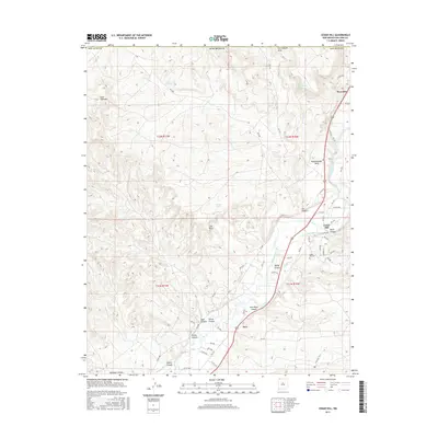
2017 Map of Cedar Hill
USGS Topo · Published 2017About this map
The Animas River valley serves as the primary artery for settlement and industry in this northern San Juan County landscape, supporting the communities of Riverside, Cedar Hill, and Inca. This 2017 survey details a complex network of agricultural irrigation, where the Graves Atterberry Ditch, Stacy Ditch, and Sargent Ditch divert water to the valley floor. High above the river, the geography is defined by prominent landforms such as Bushelberger Mesa and the distinctive Lone Tree Mtn. The map reveals the intersection of natural landmarks and human history, from the geological features of Cox Canyon Arch and Arch Rock Canyon to the local heritage preserved at the Cedar Hill Cem. This record of the modern era illustrates how contemporary road systems like RD 2900 and CO RD 2350 follow the traditional contours of the canyons and riverbanks.
Find a feature on this map
67 named features on this map. Tap any name to fly to it.
Don’t see what you’re looking for? This feature index may not catch every label — zoom into the map to look around manually.
Map Details
Editions of this 2017 Cedar Hill Map
This is the sole edition of this map. No revisions or reprints were ever made.
Other maps of this area
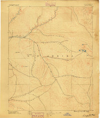
1889 · Largo
USGS Topo · 1:250,000
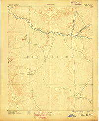
1889 · Chaco
USGS Topo · 1:250,000
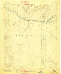
1892 · Chaco
USGS Topo · 1:250,000
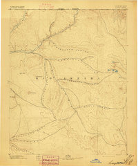
1895 · Largo
USGS Topo · 1:250,000
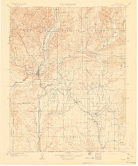
1908 · Ignacio
USGS Topo · 1:125,000
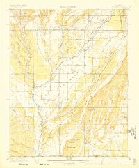
1913 · Red Mesa
USGS Topo · 1:62,500
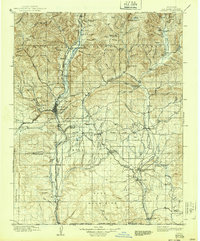
1924 · Ignacio
USGS Topo · 1:125,000

1945 · Durango
USGS Topo · 1:250,000

1953 · Durango
USGS Topo · 1:250,000
1954 · Durango
USGS Topo · 1:250,000