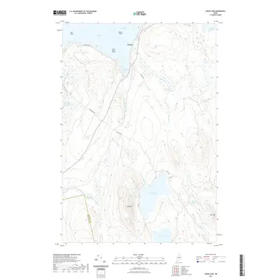
2021 Map of Cedar Lake
USGS Topo · Published 2021About this map
The northern settlement of Perkins sits along the narrow passage between North Twin Lake and Partridge Cove in this detailed 2021 survey of the Maine interior. The landscape is defined by its complex hydrography, where the waters of South Twin Lake and Quakish Lake meet a series of brooks and deadwaters. Extensive wetland systems like Libby Bog and Rocky Bog surround topographic highlights such as Cedar Mtn and Oak Knoll. The network of timber and access roads, including Turkey Tail Rd and Lincolnridge Rd, reflects the area's continued use for resource management and recreation. Of particular interest to those tracing historical boundaries is the line dividing Piscataquis Co and Penobscot Co, which cuts through the southwestern corner near Dean Brook. This modern record preserves the intricate shoreline of Cedar Lake and its many islands, including Oak Island and Little Birch Island.
Find a feature on this map
34 named features on this map. Tap any name to fly to it.
Don’t see what you’re looking for? This feature index may not catch every label — zoom into the map to look around manually.
Map Details
Editions of this 2021 Cedar Lake Map
This is the sole edition of this map. No revisions or reprints were ever made.
Other maps of this area

1942 · Lincoln
USGS Topo · 1:62,500

1947 · Schoodic
USGS Topo · 1:62,500

1949 · Schoodic
USGS Topo · 1:62,500

1951 · Norcross
USGS Topo · 1:62,500

1951 · Millinocket
USGS Topo · 1:62,500

1954 · Millinocket
USGS Topo · 1:250,000

1957 · Lincoln
USGS Topo · 1:62,500

1958 · Millinocket
USGS Topo · 1:250,000

1960 · Millinocket
USGS Topo · 1:250,000

1975 · Millinocket SW
USGS Topo · 1:24,000
Featured Places
- T3 Indian Purchase Township, ME
- Hopkins Academy Grant Township, ME
- Long A Township, ME
- T4 Indian Purchase Township, ME
- T4 R9 NWP, ME