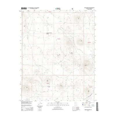
2014 Map of Cedar Mountain
USGS Topo · Published 2014About this map
Kaibab National Forest lands dominate this high-plateau landscape, where water security was clearly the primary concern for anyone traversing this Coconino County terrain. The landscape is dotted with numerous small water catchments including Laws Natural Tank, Geronimo Tank, and the Little Boulin Tank. These features, along with names like Cowboy Tank and Horse Trap Canyon, suggest a long history of seasonal livestock management and movement through the high desert.
Find a feature on this map
47 named features on this map. Tap any name to fly to it.
Don’t see what you’re looking for? This feature index may not catch every label — zoom into the map to look around manually.
Map Details
Editions of this 2014 Cedar Mountain Map
This is the sole edition of this map. No revisions or reprints were ever made.
Other maps of this area
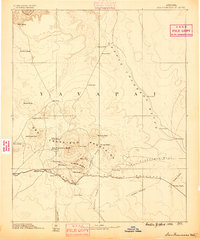
1886 · San Francisco Mtns
USGS Topo · 1:250,000
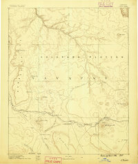
1886 · Chino
USGS Topo · 1:250,000
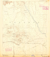
1891 · San Francisco Mtns
USGS Topo · 1:250,000
1891 · Chino
USGS Topo · 1:250,000
1894 · San Francisco Mtns
USGS Topo · 1:250,000
1899 · San Francisco Mtns
USGS Topo · 1:250,000
1908 · Flagstaff
USGS Topo · 1:125,000
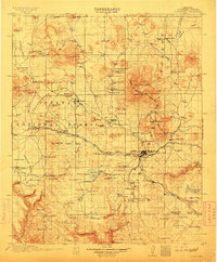
1912 · Flagstaff
USGS Topo · 1:125,000
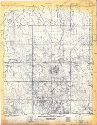
1922 · Williams
USGS Topo · 1:125,000

1947 · Flagstaff
USGS Topo · 1:250,000