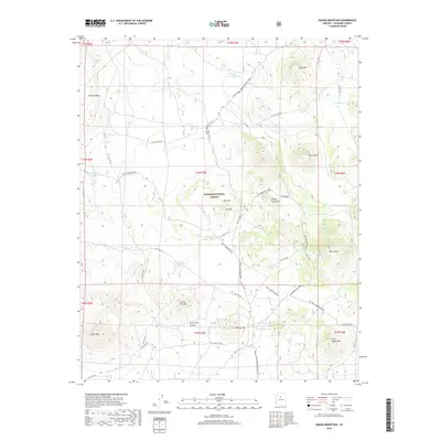
2018 Map of Cedar Mountain
USGS Topo · Published 2018About this map
The Beale Wagon Road cuts across this high-desert plateau within the Kaibab National Forest, marking a historic path of westward expansion. This 2018 survey reveals a landscape defined by its network of historic routes and vital water collection points, known locally as tanks. The Great Western Trail and the Winter Camp Great Western Trail traverse the center of the sheet, intersecting with numerous legacy roads such as Old "115" Rd and Old "707" Rd. Significant topographical features rise from the flats, including the prominent Howard Mesa and Buck Mtn. The reliance on surface water in this arid region is evident through named features like Indian Tank, Ivie Tank, and Boulin Tank, which supported the livestock and travelers passing through these basins near Horse Trap Canyon.
Find a feature on this map
46 named features on this map. Tap any name to fly to it.
Don’t see what you’re looking for? This feature index may not catch every label — zoom into the map to look around manually.
Map Details
Editions of this 2018 Cedar Mountain Map
This is the sole edition of this map. No revisions or reprints were ever made.
Other maps of this area
1886 · San Francisco Mtns
USGS Topo · 1:250,000
1886 · Chino
USGS Topo · 1:250,000
1891 · San Francisco Mtns
USGS Topo · 1:250,000
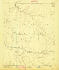
1891 · Chino
USGS Topo · 1:250,000
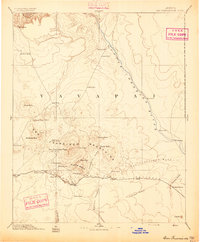
1894 · San Francisco Mtns
USGS Topo · 1:250,000
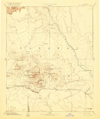
1899 · San Francisco Mtns
USGS Topo · 1:250,000
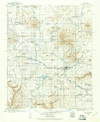
1908 · Flagstaff
USGS Topo · 1:125,000
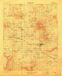
1912 · Flagstaff
USGS Topo · 1:125,000
1922 · Williams
USGS Topo · 1:125,000

1947 · Flagstaff
USGS Topo · 1:250,000