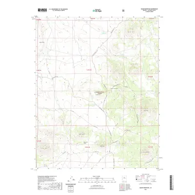
2021 Map of Cedar Mountain
USGS Topo · Published 2021About this map
Kaibab National Forest encompasses a landscape defined by volcanic mesas and historic transit corridors. The prominent Beale Wagon Road Trl cuts across the terrain, marking an early arterial route for pioneer and military travel through Northern Arizona. Water is the primary driver of development and livestock activity here, indicated by the numerous artificial and natural basins like Indian Tank, Little Boulin Tank, and Laws Natural Tank. These small catchments supported ranching and travel in a dry environment where Spring Valley Wash and other drainages provided only seasonal relief. High points such as Squaw Mtn, Cedar Mtn, and Buck Mtn offer significant topographical landmarks, while more obscure features like Horse Trap Canyon hint at the functional historical use of the land for cattle or wild horse management.
Find a feature on this map
42 named features on this map. Tap any name to fly to it.
Don’t see what you’re looking for? This feature index may not catch every label — zoom into the map to look around manually.
Map Details
Editions of this 2021 Cedar Mountain Map
This is the sole edition of this map. No revisions or reprints were ever made.
Other maps of this area
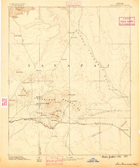
1886 · San Francisco Mtns
USGS Topo · 1:250,000
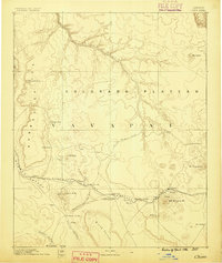
1886 · Chino
USGS Topo · 1:250,000
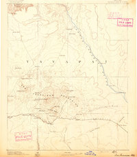
1891 · San Francisco Mtns
USGS Topo · 1:250,000
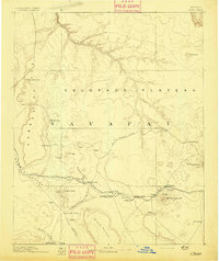
1891 · Chino
USGS Topo · 1:250,000
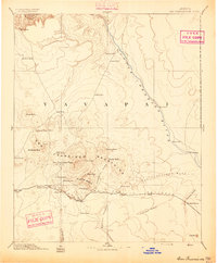
1894 · San Francisco Mtns
USGS Topo · 1:250,000
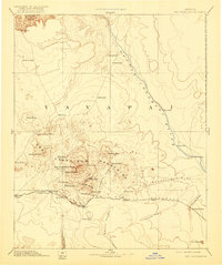
1899 · San Francisco Mtns
USGS Topo · 1:250,000
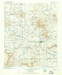
1908 · Flagstaff
USGS Topo · 1:125,000
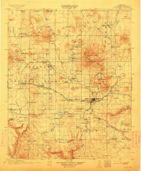
1912 · Flagstaff
USGS Topo · 1:125,000
1922 · Williams
USGS Topo · 1:125,000

1947 · Flagstaff
USGS Topo · 1:250,000