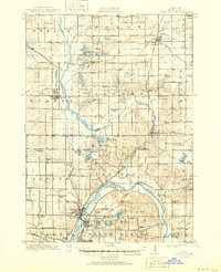
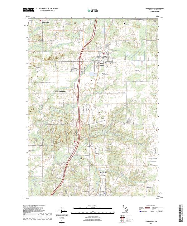
1943 Map of Cedar Springs
USGS Topo · Published 1943About this map
The Rogue River and Grand River converge in this mid-century landscape of Kent County, defining a region where agricultural life and early industry were tightly woven with the waterways. In the north, Cedar Springs serves as a primary hub, while further south, the Rockford area shows its industrial character near Kane Mill and the crossing of the Pere Marquette railroad. The map is notable for its dense network of named corners and rural schools, such as Vandenhoven Corners and Block Tavern Sch, indicating a well-established community of farmsteads and local districts.
Find a feature on this map
120 named features on this map. Tap any name to fly to it.
Don’t see what you’re looking for? This feature index may not catch every label — zoom into the map to look around manually.
Map Details
Editions of this 1943 Cedar Springs Map
This is the sole edition of this map. No revisions or reprints were ever made.
Historical Maps of Grand Rapids Through Time
6 maps found