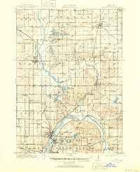
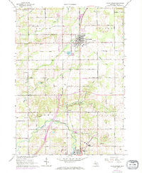
1918 Map of Cedar Springs
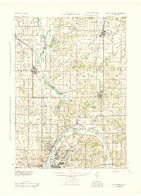
USGS Topo · Published 1951About this map
Rouge River and Grand River dictate the settlement patterns of Kent County in this 1918 survey, reflecting a landscape defined by water-powered industry and early rail lines. The convergence of the Pere Marquette and the Grand Rapids and Indiana railroads at Sparta and Cedar Springs illustrates the region's importance as a transportation hub for agricultural and timber goods. Local history is deeply embedded in the dense network of rural infrastructure, from the Block Tavern School in Tyrone to Kanes Mill and Monroe Mill along the creek banks. Near the southern edge, the West Michigan State Fairgrounds and the Soldiers Home signal the growth of the North Park area, while the U S Rifle Range indicates active military preparation during the era. This map preserves a high density of one-room schoolhouses, such as Pioneer School and Burchtop School, which served as the social centers for these emerging townships.
Find a feature on this map
120 named features on this map. Tap any name to fly to it.
Don’t see what you’re looking for? This feature index may not catch every label — zoom into the map to look around manually.
Map Details
Editions of this 1918 Cedar Springs Map
3 editions found
Historical Maps of Grand Rapids Through Time
10 maps found
1918 Cedar Springs
Kent County, MI
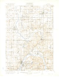
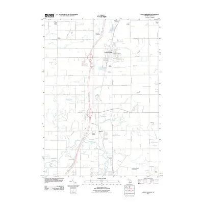
1943 Cedar Springs
Kent County, MI
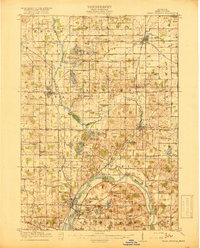
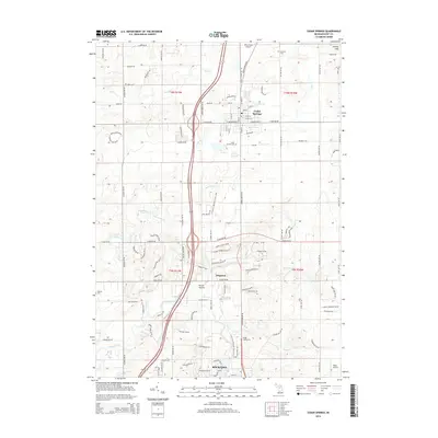
1967 Cedar Springs
Kent County, MI

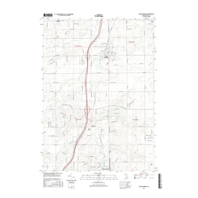
1985 Cedar Springs
Kent County, MI

1986 Cedar Springs
Kent County, MI
2011 Cedar Springs
Kent County, MI
2014 Cedar Springs
Kent County, MI
2017 Cedar Springs
Kent County, MI
2019 Cedar Springs
Kent County, MI
2023 Cedar Springs
Kent County, MI