2022 Map of Cedarburg OE E
USGS Topo · Published 2022About this map
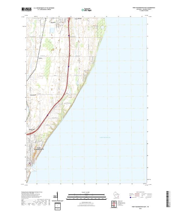
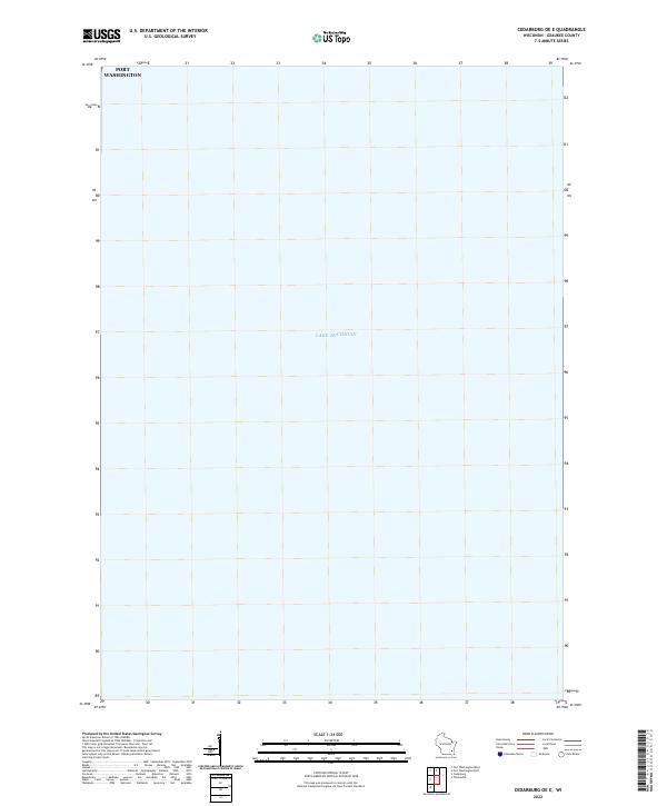
Lake Michigan dominates this coastal survey, where the open waters of the Great Lakes meet the shoreline of Ozaukee County. The map focuses primarily on the maritime expanse, capturing the eastern approaches to the Wisconsin coast during the early 2020s. Along the northwestern edge of the sheet, the city of Port Washington appears at the water's edge. This specific perspective highlights the geographic relationship between the lakeside settlement and the vast aquatic environment of the lake, illustrating the coastal orientation of the region. As a modern record produced by the U.S. Geological Survey, it documents the contemporary shoreline and the nearshore areas where the urban grid meets the lake.
Find a feature on this map
2 named features on this map. Tap any name to fly to it.
Don’t see what you’re looking for? This feature index may not catch every label — zoom into the map to look around manually.
Map Details
Editions of this 2022 Cedarburg OE E Map
This is the sole edition of this map. No revisions or reprints were ever made.
Historical Maps of Port Washington Through Time
5 maps found