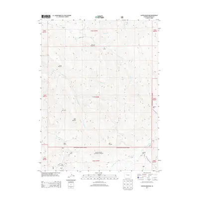
2013 Map of Center Mountain
USGS Topo · Published 2013About this map
White River National Forest lands dominate this high-altitude landscape of Garfield County, where drainage networks and irrigation infrastructure reveal the region's ranching and wilderness heritage. The Sykes and Alford Ditch cuts across the northern slopes below Center Mountain, illustrating the vital role of water management in this high-desert environment. Topographical extremes define the terrain, from the prominent heights of Sunlight Peak and Little Baldy Mountain to the deep incisions of V Gulch and Dean Gulch. Modern access is concentrated along Garfield Creek Rd and CO Road 117, while the backcountry is marked by recreational routes like the Beaver Creek Trail 2092.1. Fourmile Park serves as a notable clearing amidst the dense contours, providing a focal point for lower-elevation activity near Fourmile Creek.
Find a feature on this map
35 named features on this map. Tap any name to fly to it.
Don’t see what you’re looking for? This feature index may not catch every label — zoom into the map to look around manually.
Map Details
Editions of this 2013 Center Mountain Map
This is the sole edition of this map. No revisions or reprints were ever made.
Other maps of this area

1906 · Grand Hogback
USGS Topo · 1:125,000

1910 · Grand Hogback
USGS Topo · 1:125,000

1927 · Glenwood Springs
USGS Topo · 1:125,000

1930 · Glenwood Springs
USGS Topo · 1:125,000

1957 · Leadville
USGS Topo · 1:250,000

1959 · Leadville
USGS Topo · 1:250,000

1960 · Leadville
USGS Topo · 1:250,000

1961 · Cattle Creek
USGS Topo · 1:24,000

1961 · Glenwood Springs
USGS Topo · 1:24,000

1962 · Leadville
USGS Topo · 1:250,000