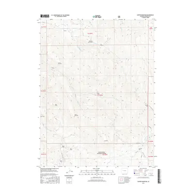
2016 Map of Center Mountain
USGS Topo · Published 2016About this map
The White River National Forest encompasses much of this high-elevation landscape in Garfield County, defined by a complex network of canyons and peaks. Early water management infrastructure is evident through the Sykes and Alford Ditch, which traverses the northern drainages near Alkali Cr and Garfield Cr. The map highlights the intersection of public lands and historic routes, notably around Fourmile Park and the curiously named Texas City in the southeastern corner.
Find a feature on this map
41 named features on this map. Tap any name to fly to it.
Don’t see what you’re looking for? This feature index may not catch every label — zoom into the map to look around manually.
Map Details
Editions of this 2016 Center Mountain Map
This is the sole edition of this map. No revisions or reprints were ever made.
Other maps of this area

1906 · Grand Hogback
USGS Topo · 1:125,000

1910 · Grand Hogback
USGS Topo · 1:125,000

1927 · Glenwood Springs
USGS Topo · 1:125,000

1930 · Glenwood Springs
USGS Topo · 1:125,000

1957 · Leadville
USGS Topo · 1:250,000

1959 · Leadville
USGS Topo · 1:250,000

1960 · Leadville
USGS Topo · 1:250,000

1961 · Cattle Creek
USGS Topo · 1:24,000

1961 · Glenwood Springs
USGS Topo · 1:24,000

1962 · Leadville
USGS Topo · 1:250,000