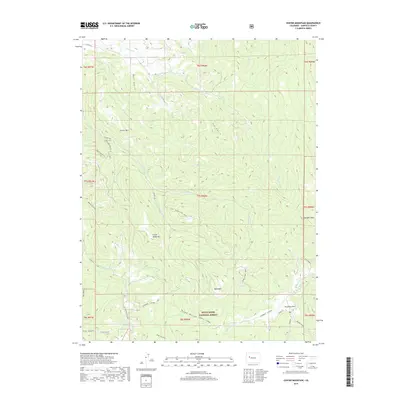
2019 Map of Center Mountain
USGS Topo · Published 2019About this map
White River National Forest lands dominate this Garfield County quadrangle, defined by a series of prominent peaks and deeply carved drainage basins. The landscape is anchored by Center Mtn in the northwest and Sunlight Peak to the east, with high-elevation summits like Little Baldy Mtn and Bald Mtn rising above the timberline. The drainage patterns reflect a complex network of seasonal and perennial waters, including Garfield Cr and E Divide Cr, which have shaped the numerous gulches such as Wolf Gulch, Tie Gulch, and Dean Gulch.
Find a feature on this map
43 named features on this map. Tap any name to fly to it.
Don’t see what you’re looking for? This feature index may not catch every label — zoom into the map to look around manually.
Map Details
Editions of this 2019 Center Mountain Map
This is the sole edition of this map. No revisions or reprints were ever made.
Other maps of this area

1906 · Grand Hogback
USGS Topo · 1:125,000

1910 · Grand Hogback
USGS Topo · 1:125,000

1927 · Glenwood Springs
USGS Topo · 1:125,000

1930 · Glenwood Springs
USGS Topo · 1:125,000

1957 · Leadville
USGS Topo · 1:250,000

1959 · Leadville
USGS Topo · 1:250,000

1960 · Leadville
USGS Topo · 1:250,000

1961 · Cattle Creek
USGS Topo · 1:24,000

1961 · Glenwood Springs
USGS Topo · 1:24,000

1962 · Leadville
USGS Topo · 1:250,000