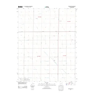
2013 Map of Center North
USGS Topo · Published 2013About this map
Agricultural irrigation systems define the landscape of northern Center and Saguache County in this 2013 study. The northern edge of the town is visible, organized around a rigid street grid including Washington Way and Broadway, which gives way to a sprawling network of water management features essential to high-altitude farming. Major arteries such as the Farmers Union Canal, San Luis Valley Irrigation Drain, and N Main Canal weave through the township divisions of T041N and T042N. The presence of Lanier Ranch and Meadow Ranch reflects the enduring ranching tradition of the San Luis Valley, while Leach Airport provides a modern transportation link amidst the rural section lines. Along the northern boundary, the natural course of La Garita Cr contrasts with the man-made precision of numerous lateral ditches, including the Lateral Fortyseven and N Central Lateral.
Find a feature on this map
41 named features on this map. Tap any name to fly to it.
Don’t see what you’re looking for? This feature index may not catch every label — zoom into the map to look around manually.
Map Details
Editions of this 2013 Center North Map
This is the sole edition of this map. No revisions or reprints were ever made.
Other maps of this area

1915 · Del Norte
USGS Topo · 1:125,000

1917 · Del Norte
USGS Topo · 1:125,000

1945 · Durango
USGS Topo · 1:250,000

1953 · Durango
USGS Topo · 1:250,000

1954 · Durango
USGS Topo · 1:250,000

1954 · Trinidad
USGS Topo · 1:250,000

1955 · Trinidad
USGS Topo · 1:250,000

1958 · Trinidad
USGS Topo · 1:250,000

1959 · Trinidad
USGS Topo · 1:250,000

1961 · Durango
USGS Topo · 1:250,000