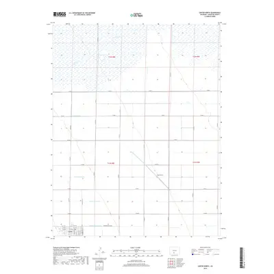
2019 Map of Center North
USGS Topo · Published 2019About this map
Agricultural development and irrigation systems dominate this landscape in Saguache County, where the town of Center sits at the southern edge of a vast grid. The importance of water management in this high-altitude valley is evident through a complex network of channels, including the N Main Canal, N Lateral, and the Farmers Union Canal. To the northeast, the San Luis Valley Irrigation Drain cuts diagonally across the section lines, directing flow toward Leach Airport. The northern portion of the map is defined by the wetlands and seasonal flows of La Garita Cr, which meanders through sections of T42N R8E and T42N R9E. This 2019 survey documents the enduring structure of the valley's rural road system, from Broadway to the numbered county roads that separate the expansive fields and agricultural plots.
Find a feature on this map
42 named features on this map. Tap any name to fly to it.
Don’t see what you’re looking for? This feature index may not catch every label — zoom into the map to look around manually.
Map Details
Editions of this 2019 Center North Map
This is the sole edition of this map. No revisions or reprints were ever made.
Other maps of this area

1915 · Del Norte
USGS Topo · 1:125,000

1917 · Del Norte
USGS Topo · 1:125,000

1945 · Durango
USGS Topo · 1:250,000

1953 · Durango
USGS Topo · 1:250,000

1954 · Durango
USGS Topo · 1:250,000

1954 · Trinidad
USGS Topo · 1:250,000

1955 · Trinidad
USGS Topo · 1:250,000

1958 · Trinidad
USGS Topo · 1:250,000

1959 · Trinidad
USGS Topo · 1:250,000

1961 · Durango
USGS Topo · 1:250,000